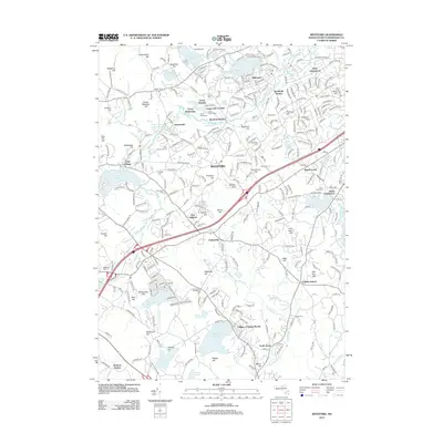
2012 Map of Westford
USGS Topo · Published 2012About this map
Stony Brook and the Boston & Maine RR serve as a central corridor for this part of Middlesex County, connecting established villages like Graniteville and Nabnasset. The landscape is a complex arrangement of residential clusters and recreational camps, including Camp Weetamo and Camp Nashoba, set against a backdrop of numerous named hills such as Prospect Hill and Frances Hill. Local heritage is anchored by sites like Saint Catherines Church and a high density of burial grounds, from the Russian Cem to the Westlawn Cem.
Find a feature on this map
268 named features on this map. Tap any name to fly to it.
Don’t see what you’re looking for? This feature index may not catch every label — zoom into the map to look around manually.
Map Details
Editions of this 2012 Westford Map
This is the sole edition of this map. No revisions or reprints were ever made.
Other maps of this area

1886 · Lowell
USGS Topo · 1:62,500

1886 · Framingham
USGS Topo · 1:62,500

1887 · Marlboro
USGS Topo · 1:62,500

1889 · Marlboro
USGS Topo · 1:62,500

1889 · Framingham
USGS Topo · 1:62,500

1893 · Lowell
USGS Topo · 1:62,500

1893 · Groton
USGS Topo · 1:62,500

1894 · Framingham
USGS Topo · 1:62,500

1896 · Marlboro
USGS Topo · 1:62,500

1898 · Marlboro
USGS Topo · 1:62,500