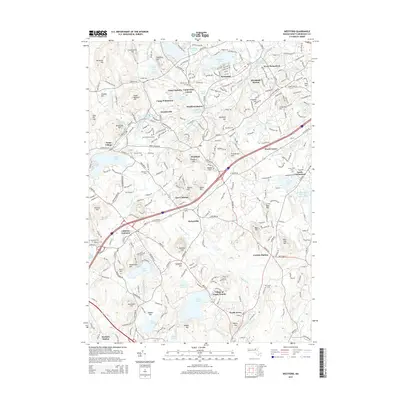
2015 Map of Westford
USGS Topo · Published 2015About this map
Stony Brook and its numerous reservoirs and ponds define the industrial and recreational geography of this Middlesex County landscape. The settlements of Graniteville and Forge Village sit along the water's edge, reflecting a history of mill-driven development that has evolved into a suburban residential pattern. Further south, the Village of Nagog Woods and Littleton Common anchor the lower half of the quadrangle near the shores of Nagog Pond.
Find a feature on this map
86 named features on this map. Tap any name to fly to it.
Don’t see what you’re looking for? This feature index may not catch every label — zoom into the map to look around manually.
Map Details
Editions of this 2015 Westford Map
This is the sole edition of this map. No revisions or reprints were ever made.
Other maps of this area

1886 · Lowell
USGS Topo · 1:62,500

1886 · Framingham
USGS Topo · 1:62,500

1887 · Marlboro
USGS Topo · 1:62,500

1889 · Marlboro
USGS Topo · 1:62,500

1889 · Framingham
USGS Topo · 1:62,500

1893 · Lowell
USGS Topo · 1:62,500

1893 · Groton
USGS Topo · 1:62,500

1894 · Framingham
USGS Topo · 1:62,500

1896 · Marlboro
USGS Topo · 1:62,500

1898 · Marlboro
USGS Topo · 1:62,500