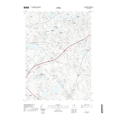
2021 Map of Westford
USGS Topo · Published 2021About this map
Nabnasset and Westford anchor this landscape, where the legacy of industrial villages and early transportation networks remains visible. The Boston and Maine RR corridors connect several historically significant points, including Brookside Station and Westford Station, reflecting an era when rail transit defined the growth of Middlesex County. The map is particularly rich in genealogical sites, from the centrally located Old Burying Ground Cem to the Russian Cem near Forge Village. Local water bodies like Long Pond and Nagog Pond are flanked by numerous named elevations such as Prospect Hill and Nashoba Hill, illustrating the complex glacial topography of the region. This 2021 study documents how recreational sites like Camp Nashoba and Camp Wakitina have integrated into the older settlement patterns of Graniteville and Littleton Common.
Find a feature on this map
92 named features on this map. Tap any name to fly to it.
Don’t see what you’re looking for? This feature index may not catch every label — zoom into the map to look around manually.
Map Details
Editions of this 2021 Westford Map
This is the sole edition of this map. No revisions or reprints were ever made.
Other maps of this area

1886 · Lowell
USGS Topo · 1:62,500

1886 · Framingham
USGS Topo · 1:62,500

1887 · Marlboro
USGS Topo · 1:62,500

1889 · Marlboro
USGS Topo · 1:62,500

1889 · Framingham
USGS Topo · 1:62,500

1893 · Lowell
USGS Topo · 1:62,500

1893 · Groton
USGS Topo · 1:62,500

1894 · Framingham
USGS Topo · 1:62,500

1896 · Marlboro
USGS Topo · 1:62,500

1898 · Marlboro
USGS Topo · 1:62,500