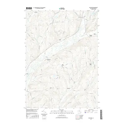
2016 Map of Westford
USGS Topo · Published 2016About this map
Westford and Middlefield anchor this section of Otsego County, where the headwaters of several prominent stream systems carve a series of high valleys. The topography is dominated by north-south ridges like Pollack Mountain and Darling Hill, which funnel drainage into the Cherry Valley Creek and Snyder Cr. The map details a well-established network of rural hamlets, including Roseboom, Lentsville, and Maple Valley, each connected by a grid of historical roads such as Boyd Rd and Middlefield Rd.
Find a feature on this map
91 named features on this map. Tap any name to fly to it.
Don’t see what you’re looking for? This feature index may not catch every label — zoom into the map to look around manually.
Map Details
Editions of this 2016 Westford Map
This is the sole edition of this map. No revisions or reprints were ever made.
Other maps of this area

1898 · Canajoharie
USGS Topo · 1:62,500

1900 · Canajoharie
USGS Topo · 1:62,500

1902 · Canajoharie
USGS Topo · 1:62,500

1903 · Richfield Springs
USGS Topo · 1:62,500

1904 · Richmondville
USGS Topo · 1:62,500

1907 · Cooperstown
USGS Topo · 1:62,500

1909 · Cooperstown
USGS Topo · 1:62,500

1943 · Milford
USGS Topo · 1:24,000

1943 · South Valley
USGS Topo · 1:24,000

1943 · Richfield Springs
USGS Topo · 1:24,000