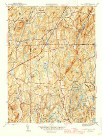
1945 Map of Westford
USGS Topo · Published 1945About this map
The town of Westford and the surrounding borderlands of Ashford, Union, and Willington are defined by a complex network of brooks and small ponds at the end of the Second World War. This landscape is characterized by its early educational and religious infrastructure, featuring the Westford Hill Ch and several district schoolhouses like the Red Sch and Moose Meadow Sch. The presence of the Swamp Burying Ground and Moose Meadow Cem provides essential touchpoints for genealogical research in this part of Windham and Tolland Counties.
Find a feature on this map
68 named features on this map. Tap any name to fly to it.
Don’t see what you’re looking for? This feature index may not catch every label — zoom into the map to look around manually.
Map Details
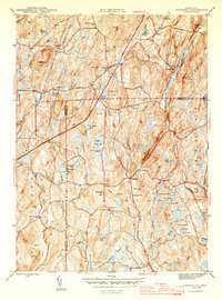
Editions of this 1945 Westford Map
2 editions found
Other maps of this area

1887 · Brookfield
USGS Topo · 1:62,500

1887 · Palmer
USGS Topo · 1:62,500

1889 · Palmer
USGS Topo · 1:62,500

1890 · Brookfield
USGS Topo · 1:62,500

1892 · Woodstock
USGS Topo · 1:62,500

1892 · Tolland
USGS Topo · 1:62,500

1893 · Palmer
USGS Topo · 1:62,500

1893 · Brookfield
USGS Topo · 1:62,500

1908 · Ware
USGS Topo · 1:125,000

1915 · Brookfield
USGS Topo · 1:62,500