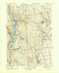
1947 Map of Westhampton
USGS Topo · Published 1947About this map
Westhampton and the surrounding hill towns of Hampshire County are captured here just after the Second World War, showing a landscape defined by its network of brooks and steep summits. The Westfield River dominates the western edge, where the Knightville Reservoir is a primary landmark near the village of Goss Heights. Local industry and commerce are marked by the presence of Bisbee Mill in the north, while smaller settlements like Norwich serve as anchors for the rural road network.
Find a feature on this map
61 named features on this map. Tap any name to fly to it.
Don’t see what you’re looking for? This feature index may not catch every label — zoom into the map to look around manually.
Map Details
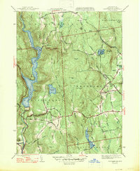
Editions of this 1947 Westhampton Map
2 editions found
Other maps of this area

1885 · Northampton
USGS Topo · 1:62,500

1886 · Springfield
USGS Topo · 1:62,500

1886 · Chesterfield
USGS Topo · 1:62,500

1886 · Northampton
USGS Topo · 1:62,500

1887 · Granville
USGS Topo · 1:62,500

1888 · Chesterfield
USGS Topo · 1:62,500

1889 · Springfield
USGS Topo · 1:62,500

1889 · Granville
USGS Topo · 1:62,500

1891 · Northampton
USGS Topo · 1:62,500

1893 · Northampton
USGS Topo · 1:62,500