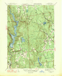
1947 Map of Westhampton
USGS Topo · Published 1947About this map
The Knightville Reservoir and the winding Westfield River dominate the western edge of this 1940s landscape, illustrating the water management infrastructure that shaped Hampshire County during this period. The survey captures the transition from industrial heritage to rural utility, notably at Bisbee Mill and the White Reservoir. Settlements like Westhampton and Norwich are mapped with fine detail, showing the network of local roads such as Kings Highway and Lyman Road that connected these upland communities.
Find a feature on this map
62 named features on this map. Tap any name to fly to it.
Don’t see what you’re looking for? This feature index may not catch every label — zoom into the map to look around manually.
Map Details
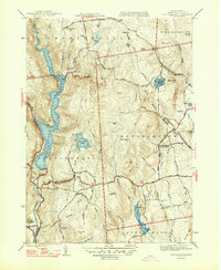
Editions of this 1947 Westhampton Map
2 editions found
Other maps of this area

1885 · Northampton
USGS Topo · 1:62,500

1886 · Springfield
USGS Topo · 1:62,500

1886 · Chesterfield
USGS Topo · 1:62,500

1886 · Northampton
USGS Topo · 1:62,500

1887 · Granville
USGS Topo · 1:62,500

1888 · Chesterfield
USGS Topo · 1:62,500

1889 · Springfield
USGS Topo · 1:62,500

1889 · Granville
USGS Topo · 1:62,500

1891 · Northampton
USGS Topo · 1:62,500

1893 · Northampton
USGS Topo · 1:62,500