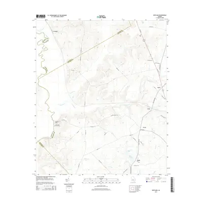
2014 Map of Westlake
USGS Topo · Published 2014About this map
The Ocmulgee River carves a winding western boundary for this central Georgia landscape, where the borders of Houston, Twiggs, Bleckley, and Pulaski counties converge. This riverine environment is defined by low-lying wetlands and numerous tributaries like Shellstone Cr and Carden Br, which drain the timbered elevations. Several small communities and named locales anchor the rural road network, including Westlake, Stephens Bluff, and Royal.
Find a feature on this map
49 named features on this map. Tap any name to fly to it.
Don’t see what you’re looking for? This feature index may not catch every label — zoom into the map to look around manually.
Map Details
Editions of this 2014 Westlake Map
This is the sole edition of this map. No revisions or reprints were ever made.
Other maps of this area

1956 · Cochran
USGS Topo · 1:62,500

1956 · Perry
USGS Topo · 1:62,500

1956 · Warner Robins
USGS Topo · 1:62,500

1956 · Jeffersonville
USGS Topo · 1:62,500

1957 · Macon
USGS Topo · 1:250,000

1958 · Macon
USGS Topo · 1:250,000

1964 · Macon
USGS Topo · 1:250,000

1973 · Hayneville
USGS Topo · 1:24,000

1973 · Klondike
USGS Topo · 1:24,000

1973 · Tarversville
USGS Topo · 1:24,000