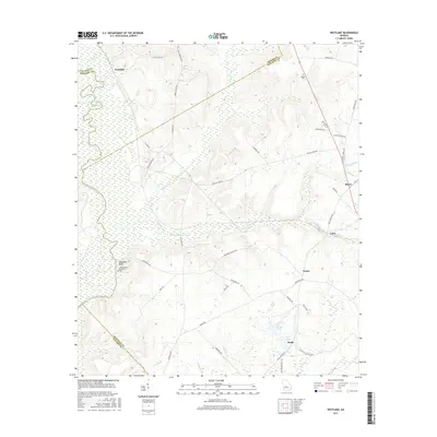
2017 Map of Westlake
USGS Topo · Published 2017About this map
The Ocmulgee River carves the western boundary of this central Georgia landscape, where the high ground at Stephens Bluff overlooks the river's winding course. This 2017 survey details the rural crossroads and small communities of Royal, Coley, and Porter, connected by a network of local roads such as Longstreet Rd and Red Dog Farm Rd. The area is defined by its intricate drainage patterns, with Shellstone Creek and its many branches like South Shellstone Creek weaving through the terrain towards the river.
Find a feature on this map
52 named features on this map. Tap any name to fly to it.
Don’t see what you’re looking for? This feature index may not catch every label — zoom into the map to look around manually.
Map Details
Editions of this 2017 Westlake Map
This is the sole edition of this map. No revisions or reprints were ever made.
Other maps of this area

1956 · Cochran
USGS Topo · 1:62,500

1956 · Perry
USGS Topo · 1:62,500

1956 · Warner Robins
USGS Topo · 1:62,500

1956 · Jeffersonville
USGS Topo · 1:62,500

1957 · Macon
USGS Topo · 1:250,000

1958 · Macon
USGS Topo · 1:250,000

1964 · Macon
USGS Topo · 1:250,000

1973 · Hayneville
USGS Topo · 1:24,000

1973 · Klondike
USGS Topo · 1:24,000

1973 · Tarversville
USGS Topo · 1:24,000