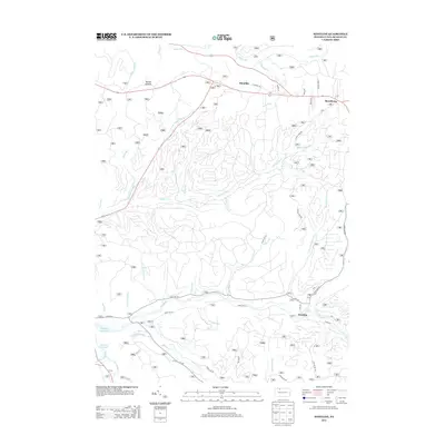
2013 Map of Westline
USGS Topo · Published 2013About this map
Westline and Marshburg anchor this section of McKean County, where the landscape is defined by the complex drainage network of the Allegheny Plateau. The topography is deeply incised by waterways like Chappel Fork and Kinzua Cr, with many smaller tributaries such as White Gravel Cr and Thundershower Run carving out the local hollows. To the northwest, Paines Summit marks a high point above the Allegheny Reservoir, while the small settlement of Klondike sits along the road network in the north. The area's character is heavily shaped by its forestry and resource history, evidenced by a dense grid of service roads including Forest Rd 321 and Forest Rd 122. These routes, along with Pine Trl and CCC Rd, suggest a long-standing pattern of forest management and outdoor recreation within the deep wooded valleys of the region.
Find a feature on this map
45 named features on this map. Tap any name to fly to it.
Don’t see what you’re looking for? This feature index may not catch every label — zoom into the map to look around manually.
Map Details
Editions of this 2013 Westline Map
This is the sole edition of this map. No revisions or reprints were ever made.
Other maps of this area

1924 · Bradford
USGS Topo · 1:62,500

1926 · Bradford
USGS Topo · 1:62,500

1934 · Kane
USGS Topo · 1:48,000

1935 · Mt. Jewett
USGS Topo · 1:48,000

1936 · Kinzua
USGS Topo · 1:48,000

1939 · Kane
USGS Topo · 1:62,500

1940 · Mt. Jewett
USGS Topo · 1:62,500

1941 · Kinzua
USGS Topo · 1:62,500

1941 · Bradford
USGS Topo · 1:62,500

1944 · Bradford
USGS Topo · 1:62,500
Featured Places
- Lafayette Township, PA
- Westline, Lafayette Township
- Corydon Township, PA
- Wetmore Township, PA
- Hamilton Township, PA