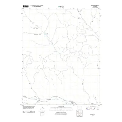
2010 Map of Weston
USGS Topo · Published 2010About this map
The Purgatoire River carves through the heart of the Picketwire Valley in this Las Animas County landscape, where small agricultural settlements like Weston and Cordova Plaza line the riverbanks. This era shows a community rooted in the high desert terrain, with the historic Weston Cemetery and Pacheca Cemetery providing vital records for genealogical research. The local economy is represented by the Maxwell Mine and a series of water management features including the Ojo Verde Reservoir and McDonald Reservoir, which support life in the shadow of the Ute Hills. Numerous branching drainages such as Sarcillo Canyon and Upper Burro Canyon define the complex topography north of the river, where isolated labels like Horn Spring hint at the locations of early water sources and seasonal camps in the western reaches of the county.
Find a feature on this map
29 named features on this map. Tap any name to fly to it.
Don’t see what you’re looking for? This feature index may not catch every label — zoom into the map to look around manually.
Map Details
Editions of this 2010 Weston Map
This is the sole edition of this map. No revisions or reprints were ever made.
Other maps of this area

1891 · Spanish Peaks
USGS Topo · 1:125,000

1893 · Spanish Peaks
USGS Topo · 1:125,000

1895 · Spanish Peaks
USGS Topo · 1:125,000

1897 · Spanish Peaks
USGS Topo · 1:125,000

1900 · Spanish Peaks
USGS Topo · 1:125,000

1951 · Valdez
USGS Topo · 1:24,000

1951 · Madrid
USGS Topo · 1:24,000

1954 · Trinidad
USGS Topo · 1:250,000

1955 · Trinidad
USGS Topo · 1:250,000

1958 · Trinidad
USGS Topo · 1:250,000