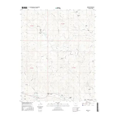
2016 Map of Weston
USGS Topo · Published 2016About this map
The Purgatoire River carves through this Southern Colorado landscape, anchoring a string of small river-valley settlements including Weston, Cordova Plaza, and Medina Plaza. These communities occupy the lowlands of the Picketwire Valley, a name that reflects the local phonetic adaptation of the river's French title. To the south, the topography rises sharply toward the Ute Hills, while the north is defined by a complex system of drainage canyons such as Lincoln Canyon and Burro Canyon. Local history is visible in the placement of the Weston Cem and Pacheca Cem, along with water resources like the Ojo Verde Reservoir and Horn Spring. The presence of these small plazas and traditional family cemeteries highlights the long-standing agricultural and ranching heritage concentrated along the river corridor.
Find a feature on this map
70 named features on this map. Tap any name to fly to it.
Don’t see what you’re looking for? This feature index may not catch every label — zoom into the map to look around manually.
Map Details
Editions of this 2016 Weston Map
This is the sole edition of this map. No revisions or reprints were ever made.
Other maps of this area

1891 · Spanish Peaks
USGS Topo · 1:125,000

1893 · Spanish Peaks
USGS Topo · 1:125,000

1895 · Spanish Peaks
USGS Topo · 1:125,000

1897 · Spanish Peaks
USGS Topo · 1:125,000

1900 · Spanish Peaks
USGS Topo · 1:125,000

1951 · Valdez
USGS Topo · 1:24,000

1951 · Madrid
USGS Topo · 1:24,000

1954 · Trinidad
USGS Topo · 1:250,000

1955 · Trinidad
USGS Topo · 1:250,000

1958 · Trinidad
USGS Topo · 1:250,000