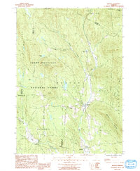
1986 Map of Weston
USGS Topo · Published 1991About this map
The West River carves a deep valley through the heart of this Vermont landscape, defining the layout of the historic village of Weston. Established as a mountain settlement, the area's development follows the narrow corridors of the Greendale Brook and Utley Brook, where local roads trace the lower elevations between massive peaks like Terrible Mountain and Peabody Hill. To the north, the Weston Priory sits quietly along the river, a notable landmark in a region dominated by the dense woodlands of the Green Mountain National Forest and the Okemo State Forest. High-elevation landmarks such as Holt Mtn and Markham Mountain provide a clear view of the complex terrain that separated the early communities of North Landgrove and Weston. This survey captures the rural character of the region before modern expansion, highlighting the isolation of sites like Moses Pond and the unique landform known as The Island near the river bend.
Find a feature on this map
32 named features on this map. Tap any name to fly to it.
Don’t see what you’re looking for? This feature index may not catch every label — zoom into the map to look around manually.
Map Details
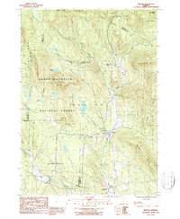
Editions of this 1986 Weston Map
2 editions found
Other maps of this area

1893 · Wallingford
USGS Topo · 1:62,500

1894 · Londonderry
USGS Topo · 1:62,500

1899 · Londonderry
USGS Topo · 1:62,500

1928 · Ludlow
USGS Topo · 1:48,000

1929 · Ludlow
USGS Topo · 1:62,500

1930 · Saxtons River
USGS Topo · 1:48,000

1932 · Ludlow
USGS Topo · 1:62,500

1933 · Saxtons River
USGS Topo · 1:62,500

1950 · Glens Falls
USGS Topo · 1:250,000

1955 · Wallingford
USGS Topo · 1:62,500