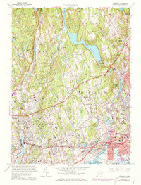
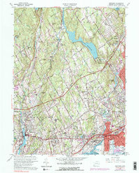
1960 Map of Westport
USGS Topo · Published 1973About this map
Sherwood Island State Park anchors the shoreline of this coastal landscape, which transitions from the busy Long Island Sound waterfront to the inland hills of Weston and Easton. The southern corridor is defined by heavy infrastructure, including the Penn Central railroad and the Connecticut Turnpike, which bypass the older village centers of Fairfield and Southport. Moving north, the suburban density of Westport gives way to a network of reservoirs like Saugatuck Reservoir and Hemlock Reservoir, essential to the region's mid-century utility expansion.
Find a feature on this map
83 named features on this map. Tap any name to fly to it.
Don’t see what you’re looking for? This feature index may not catch every label — zoom into the map to look around manually.
Map Details
Editions of this 1960 Westport Map
5 editions found
Other maps of this area

1889 · Derby
USGS Topo · 1:62,500

1891 · Bridgeport
USGS Topo · 1:62,500

1891 · Derby
USGS Topo · 1:62,500

1892 · Danbury
USGS Topo · 1:62,500

1892 · Norwalk
USGS Topo · 1:62,500

1893 · Bridgeport
USGS Topo · 1:62,500

1893 · Norwalk
USGS Topo · 1:62,500

1893 · Derby
USGS Topo · 1:62,500

1915 · Danbury
USGS Topo · 1:62,500

1920 · Bridgeport
USGS Topo · 1:62,500