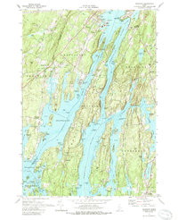
1970 Map of Westport
USGS Topo · Published 1989About this map
Sheepscot River and the Back River define the intricate island geography of this coastal Maine landscape. The map centers on the elongated body of Westport island, separated from the mainland by Montsweag Bay and the deep channels of the Sasanoa River. The 1970 field check captures the area just as a major Powerplant was established on the western shore of the Sheepscot, contrasting with the long-standing agricultural and maritime character of the region.
Find a feature on this map
114 named features on this map. Tap any name to fly to it.
Don’t see what you’re looking for? This feature index may not catch every label — zoom into the map to look around manually.
Map Details
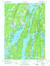
Editions of this 1970 Westport Map
2 editions found
Other maps of this area

1892 · Gardiner
USGS Topo · 1:62,500

1893 · Wiscasset
USGS Topo · 1:62,500

1893 · Boothbay
USGS Topo · 1:62,500

1894 · Bath
USGS Topo · 1:62,500

1920 · Bath
USGS Topo · 1:62,500

1941 · Boothbay
USGS Topo · 1:62,500

1943 · Gardiner
USGS Topo · 1:62,500

1943 · Boothbay
USGS Topo · 1:62,500

1944 · Wiscasset
USGS Topo · 1:62,500

1944 · Boothbay
USGS Topo · 1:62,500