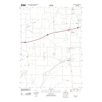
2010 Map of Westville
USGS Topo · Published 2010About this map
Westville serves as the primary hub of this northern Indiana landscape, where the agricultural grid meets institutional expansion and historic crossroads. The presence of the Purdue University North Central Campus northwest of the main town center reflects the late 20th-century growth of regional education in LaPorte County. This map is particularly valuable for genealogists, as it preserves the locations of several community burial grounds including Beattys Corner Cemetery, Eight Square Cemetery, Quakerdom Cemetery, and Carter Cemetery.
Find a feature on this map
58 named features on this map. Tap any name to fly to it.
Don’t see what you’re looking for? This feature index may not catch every label — zoom into the map to look around manually.
Map Details
Editions of this 2010 Westville Map
This is the sole edition of this map. No revisions or reprints were ever made.
Other maps of this area

1934 · Porter
USGS Topo · 1:48,000

1940 · Porter
USGS Topo · 1:62,500

1953 · Wanatah
USGS Topo · 1:24,000

1953 · Westville
USGS Topo · 1:24,000

1953 · Valparaiso
USGS Topo · 1:24,000

1953 · Chesterton
USGS Topo · 1:24,000

1953 · Dune Acres
USGS Topo · 1:24,000

1953 · Michigan City West
USGS Topo · 1:24,000

1953 · Chicago
USGS Topo · 1:250,000

1957 · Chicago
USGS Topo · 1:250,000