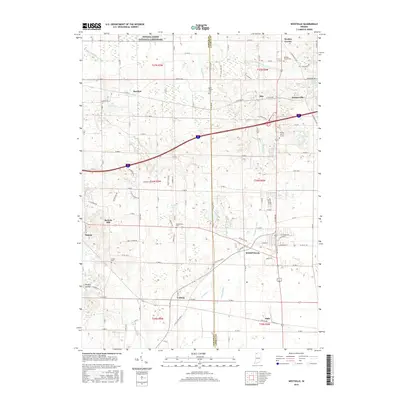
2016 Map of Westville
USGS Topo · Published 2016About this map
Westville serves as the primary hub in this portion of LaPorte and Porter Counties, situated at the junction of several regional transit routes. The landscape is characterized by a high density of small rural communities and dispersed heritage sites, including several family and community burial grounds such as Quakerdom Cem and Carter Cem. In the north, the protected landscape of the Indiana Dunes National Lakeshore borders the Arm Little Calumet River, while further south, the Purdue Univ N Central campus represents the modern institutional footprint in the area. The geography is defined by numerous kettle ponds and wetlands, such as Clear Lake and Moore Swamp, which are interspersed among the small settlements of Burdick, Otis, and Holmesville. This 2016 survey illustrates the persistent rural character of the region despite its proximity to major transportation corridors like the CSX Transportation line.
Find a feature on this map
91 named features on this map. Tap any name to fly to it.
Don’t see what you’re looking for? This feature index may not catch every label — zoom into the map to look around manually.
Map Details
Editions of this 2016 Westville Map
This is the sole edition of this map. No revisions or reprints were ever made.
Other maps of this area

1934 · Porter
USGS Topo · 1:48,000

1940 · Porter
USGS Topo · 1:62,500

1953 · Wanatah
USGS Topo · 1:24,000

1953 · Westville
USGS Topo · 1:24,000

1953 · Valparaiso
USGS Topo · 1:24,000

1953 · Chesterton
USGS Topo · 1:24,000

1953 · Dune Acres
USGS Topo · 1:24,000

1953 · Michigan City West
USGS Topo · 1:24,000

1953 · Chicago
USGS Topo · 1:250,000

1957 · Chicago
USGS Topo · 1:250,000