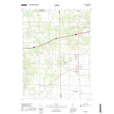
2019 Map of Westville
USGS Topo · Published 2019About this map
Westville serves as the primary hub in this portion of LaPorte County, situated at a crossroads where local life and transportation history converge. The landscape is defined by its agricultural foundations and the legacy of early 19th-century communities, evident in the numerous small burial grounds like Beattys Corner Cem, Eight Square Cem, and the Quakerdom Cem. These sites, along with the Carter Cem near Suman, provide significant grounding for genealogists tracing pioneer families of the Indiana prairie. To the north, the periphery of Indiana Dunes National Park meets the drainage of the E Arm Little Calumet River. The infrastructure of the Norfolk Southern railway continues to influence the layout of settlements like Otis, Burdick, and Alida, preserving a rail-corridor pattern established long before modern development reached this corner of the state.
Find a feature on this map
100 named features on this map. Tap any name to fly to it.
Don’t see what you’re looking for? This feature index may not catch every label — zoom into the map to look around manually.
Map Details
Editions of this 2019 Westville Map
This is the sole edition of this map. No revisions or reprints were ever made.
Other maps of this area

1934 · Porter
USGS Topo · 1:48,000

1940 · Porter
USGS Topo · 1:62,500

1953 · Wanatah
USGS Topo · 1:24,000

1953 · Westville
USGS Topo · 1:24,000

1953 · Valparaiso
USGS Topo · 1:24,000

1953 · Chesterton
USGS Topo · 1:24,000

1953 · Dune Acres
USGS Topo · 1:24,000

1953 · Michigan City West
USGS Topo · 1:24,000

1953 · Chicago
USGS Topo · 1:250,000

1957 · Chicago
USGS Topo · 1:250,000