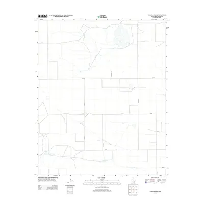
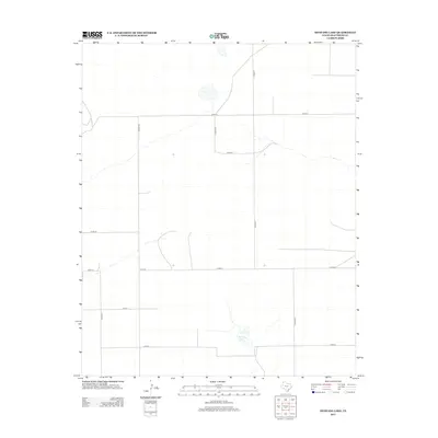
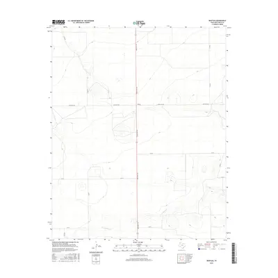
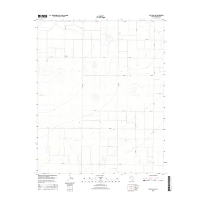
1971 Map of Westway
USGS Topo · Published 1992About this map
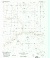
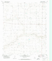
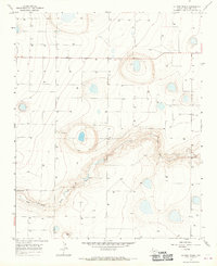
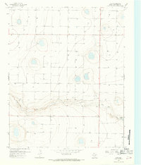
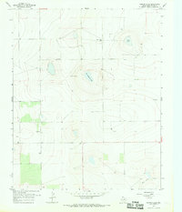
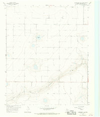
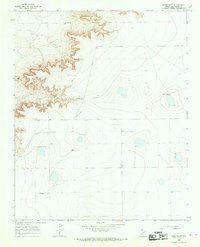
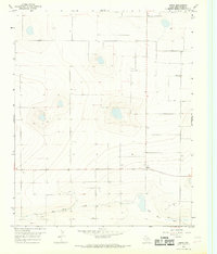
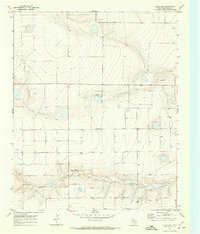
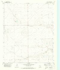
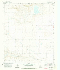
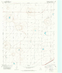
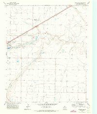
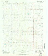
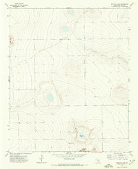
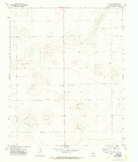
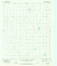
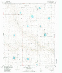
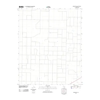
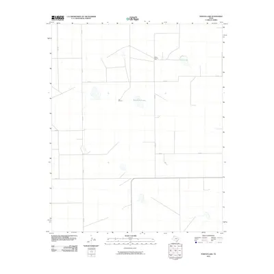
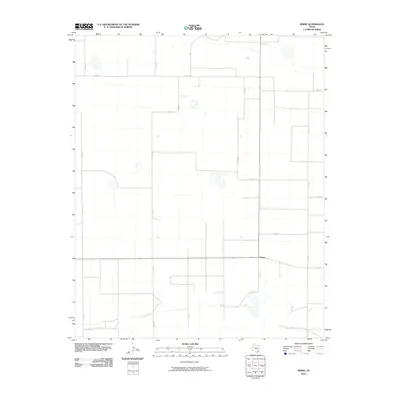
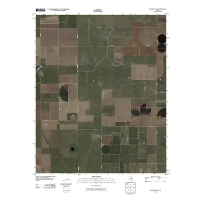
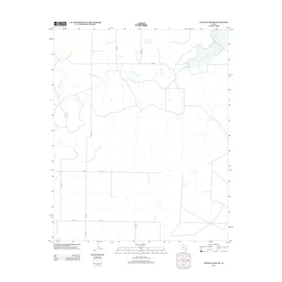
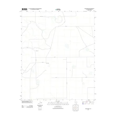
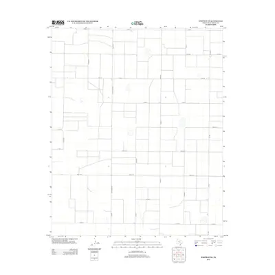
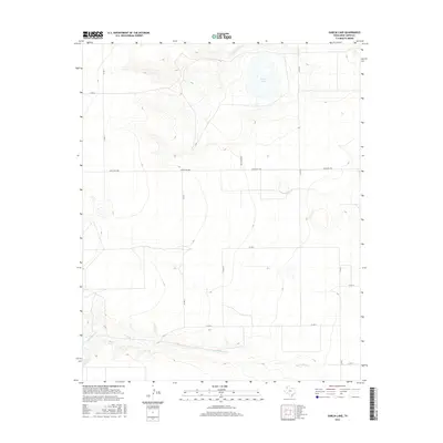
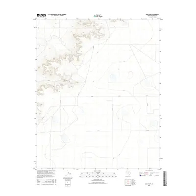
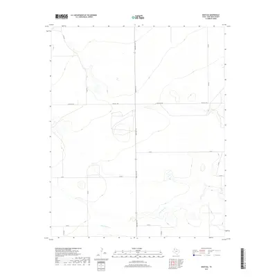
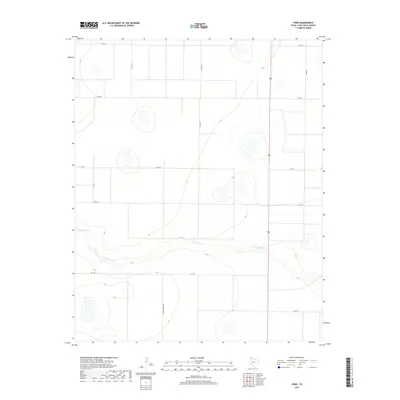
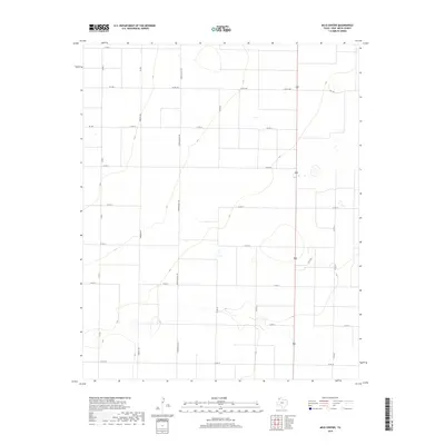
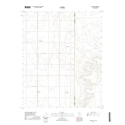
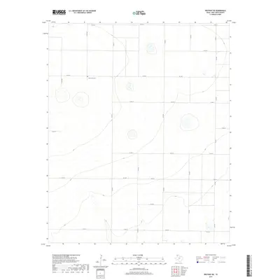
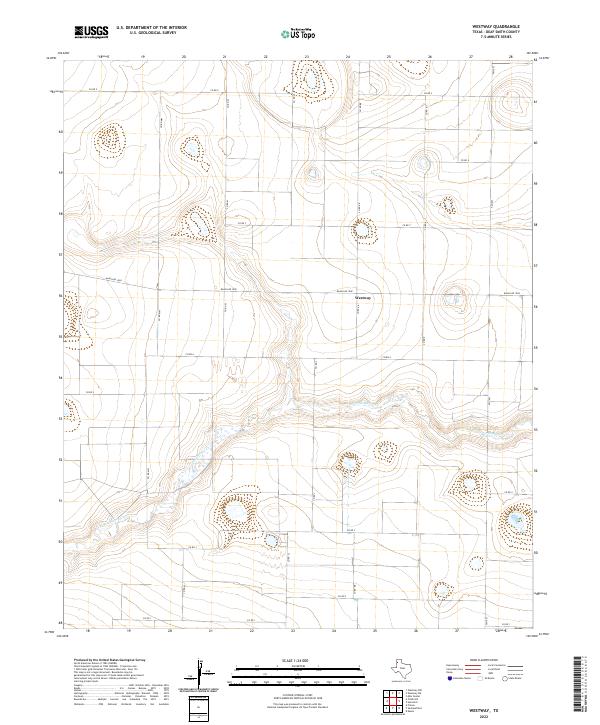
Tierra Blanca Creek carves a distinct path through this high plains landscape of Deaf Smith, Texas, revealing a terrain defined by groundwater management and small-scale settlement. The small community of Westway sits near the center of the sheet, while the nearby Burks settlement highlights the localized nature of cattle ranching and farming operations during this era. The map is heavily marked by numerous Wells, indicating the critical reliance on the Ogallala Aquifer for agricultural irrigation and livestock. Industrial activity is visible in the form of multiple Gravel Pits and a solitary Gravel Pit located along the creek's drainage, while a Radio Tower stands as a modern landmark on the open plains.
Find a feature on this map
7 named features on this map. Tap any name to fly to it.
Don’t see what you’re looking for? This feature index may not catch every label — zoom into the map to look around manually.
Map Details
Editions of this 1971 Westway Map
2 editions found
Historical Maps of Westway Through Time
125 maps found
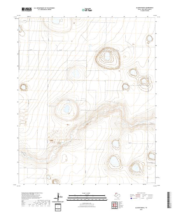
1965 Allison Ranch
Deaf Smith County, TX
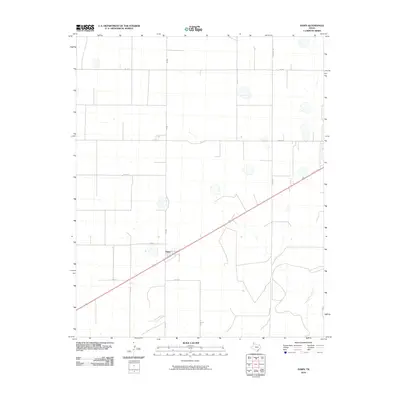
1966 Ford
Deaf Smith County, TX
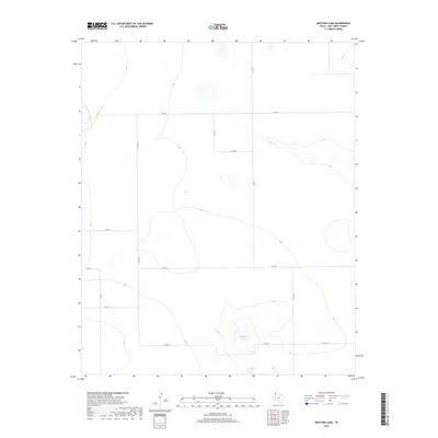
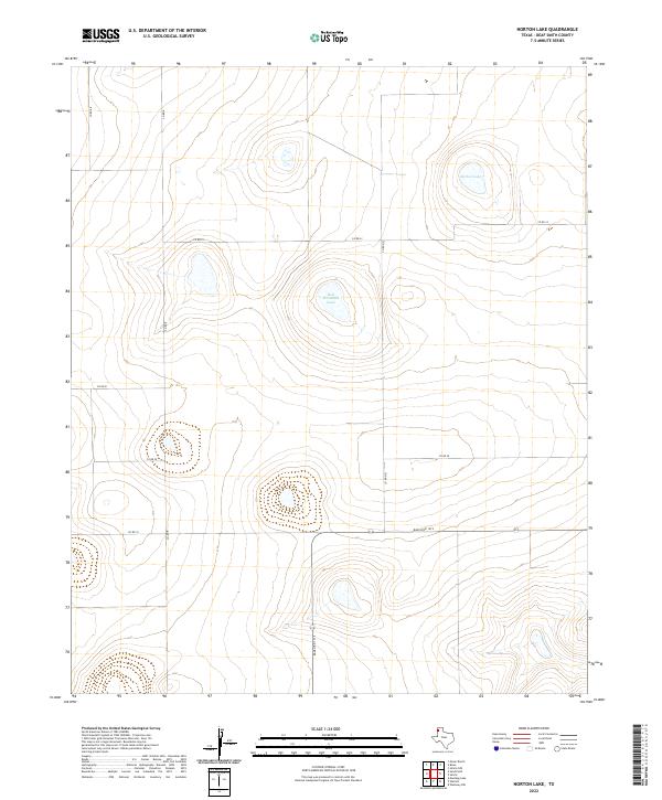
1966 Norton Lake
Deaf Smith County, TX
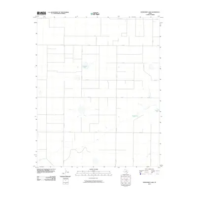
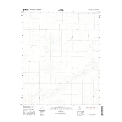
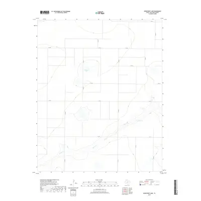
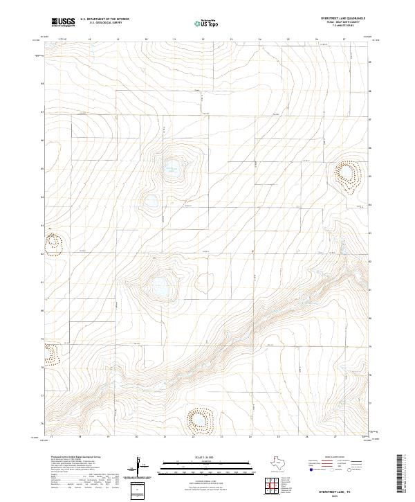
1966 Overstreet Lake
Deaf Smith County, TX
1966 Sand Point
Deaf Smith County, TX
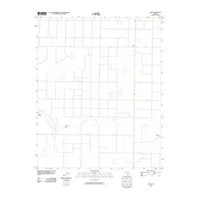
1966 Simms
Deaf Smith County, TX
1970 Chalk Hill
Deaf Smith County, TX
1971 Bootleg
Deaf Smith County, TX
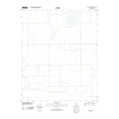
1971 Garcia Lake
Deaf Smith County, TX
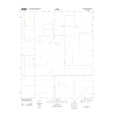
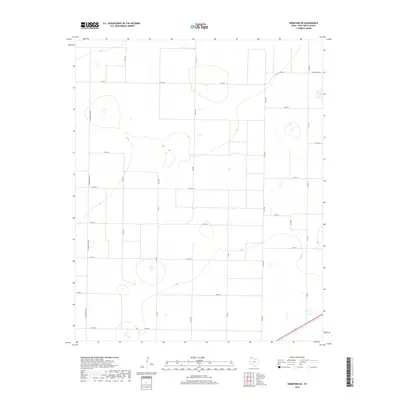
1971 Hereford NE
Deaf Smith County, TX
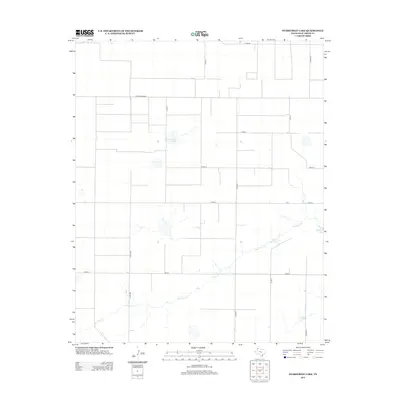
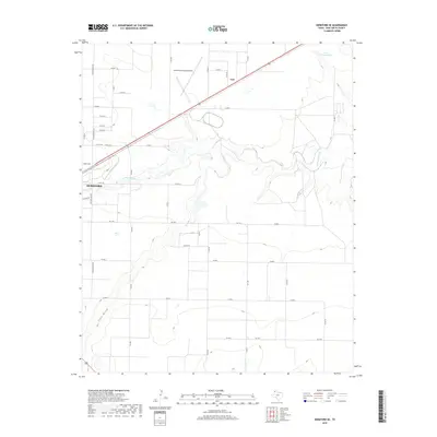
1971 Hereford SE
Deaf Smith County, TX
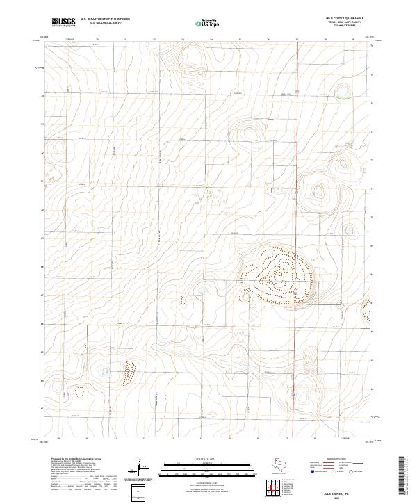
1971 Milo Center
Deaf Smith County, TX
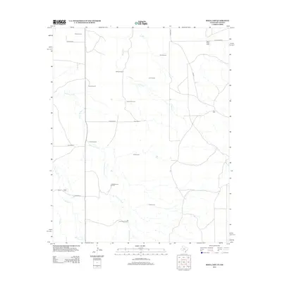
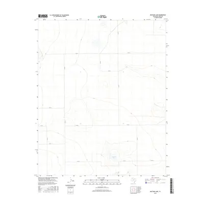
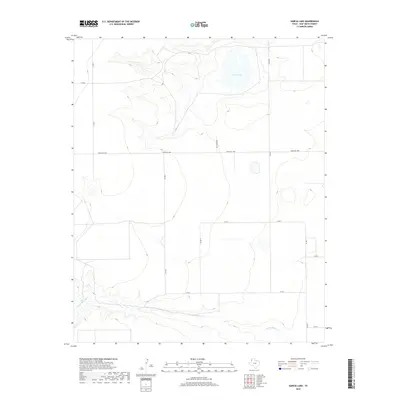
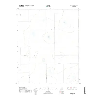
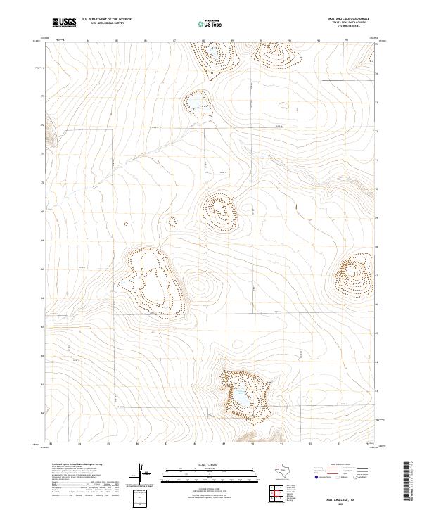
1971 Mustang Lake
Deaf Smith County, TX
1971 Walcott
Deaf Smith County, TX
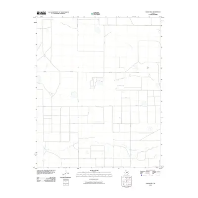
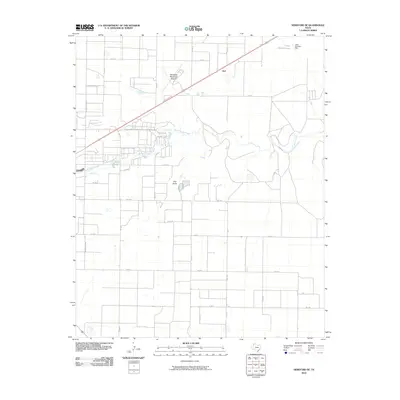
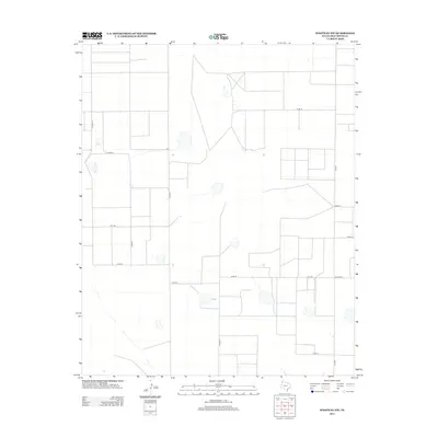
1971 Westway
Deaf Smith County, TX
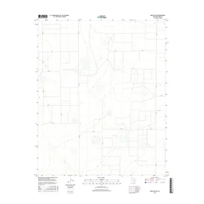
1971 Westway NE
Deaf Smith County, TX
1971 Westway NW
Deaf Smith County, TX
1984 Buffalo Lake SW
Deaf Smith County, TX
1984 Dawn
Deaf Smith County, TX
1984 Wildorado SW
Deaf Smith County, TX
2010 Allison Ranch
Deaf Smith County, TX
2010 Bootleg
Deaf Smith County, TX
2010 Buffalo Lake SW
Deaf Smith County, TX
2010 Chalk Hill
Deaf Smith County, TX
2010 Dawn
Deaf Smith County, TX
2010 Ford
Deaf Smith County, TX
2010 Garcia Lake
Deaf Smith County, TX
2010 Hereford NE
Deaf Smith County, TX
2010 Hereford SE
Deaf Smith County, TX
2010 Milo Center
Deaf Smith County, TX
2010 Mustang Lake
Deaf Smith County, TX
2010 Norton Lake
Deaf Smith County, TX
2010 Overstreet Lake
Deaf Smith County, TX
2010 Rock Camp
Deaf Smith County, TX
2010 Sand Point
Deaf Smith County, TX
2010 Simms
Deaf Smith County, TX
2010 Walcott
Deaf Smith County, TX
2010 Westway
Deaf Smith County, TX
2010 Westway NE
Deaf Smith County, TX
2010 Westway NW
Deaf Smith County, TX
2010 Wildorado SW
Deaf Smith County, TX
2012 Allison Ranch
Deaf Smith County, TX
2012 Bootleg
Deaf Smith County, TX
2012 Buffalo Lake SW
Deaf Smith County, TX
2012 Chalk Hill
Deaf Smith County, TX
2012 Dawn
Deaf Smith County, TX
2012 Ford
Deaf Smith County, TX
2012 Garcia Lake
Deaf Smith County, TX
2012 Hereford NE
Deaf Smith County, TX
2012 Hereford SE
Deaf Smith County, TX
2012 Milo Center
Deaf Smith County, TX
2012 Mustang Lake
Deaf Smith County, TX
2012 Norton Lake
Deaf Smith County, TX
2012 Overstreet Lake
Deaf Smith County, TX
2012 Rock Camp
Deaf Smith County, TX
2012 Sand Point
Deaf Smith County, TX
2012 Simms
Deaf Smith County, TX
2012 Walcott
Deaf Smith County, TX
2012 Westway
Deaf Smith County, TX
2012 Westway NE
Deaf Smith County, TX
2012 Westway NW
Deaf Smith County, TX
2012 Wildorado SW
Deaf Smith County, TX
2016 Allison Ranch
Deaf Smith County, TX
2016 Bootleg
Deaf Smith County, TX
2016 Buffalo Lake SW
Deaf Smith County, TX
2016 Chalk Hill
Deaf Smith County, TX
2016 Dawn
Deaf Smith County, TX

2016 Ford
Deaf Smith County, TX
2016 Garcia Lake
Deaf Smith County, TX
2016 Hereford NE
Deaf Smith County, TX
2016 Hereford SE
Deaf Smith County, TX
2016 Milo Center
Deaf Smith County, TX
2016 Mustang Lake
Deaf Smith County, TX
2016 Norton Lake
Deaf Smith County, TX
2016 Overstreet Lake
Deaf Smith County, TX
2016 Rock Camp
Deaf Smith County, TX
2016 Sand Point
Deaf Smith County, TX
2016 Simms
Deaf Smith County, TX
2016 Walcott
Deaf Smith County, TX
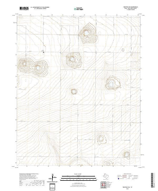
2016 Westway
Deaf Smith County, TX
2016 Westway NE
Deaf Smith County, TX
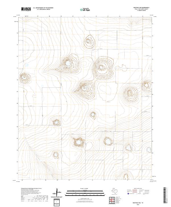
2016 Westway NW
Deaf Smith County, TX
2016 Wildorado SW
Deaf Smith County, TX
2019 Allison Ranch
Deaf Smith County, TX
2019 Bootleg
Deaf Smith County, TX
2019 Buffalo Lake SW
Deaf Smith County, TX
2019 Chalk Hill
Deaf Smith County, TX
2019 Dawn
Deaf Smith County, TX
2019 Ford
Deaf Smith County, TX
2019 Garcia Lake
Deaf Smith County, TX
2019 Hereford NE
Deaf Smith County, TX
2019 Hereford SE
Deaf Smith County, TX
2019 Milo Center
Deaf Smith County, TX
2019 Mustang Lake
Deaf Smith County, TX
2019 Norton Lake
Deaf Smith County, TX
2019 Overstreet Lake
Deaf Smith County, TX
2019 Rock Camp
Deaf Smith County, TX
2019 Sand Point
Deaf Smith County, TX
2019 Simms
Deaf Smith County, TX

2019 Walcott
Deaf Smith County, TX
2019 Westway
Deaf Smith County, TX
2019 Westway NE
Deaf Smith County, TX
2019 Westway NW
Deaf Smith County, TX
2019 Wildorado SW
Deaf Smith County, TX
2022 Allison Ranch
Deaf Smith County, TX
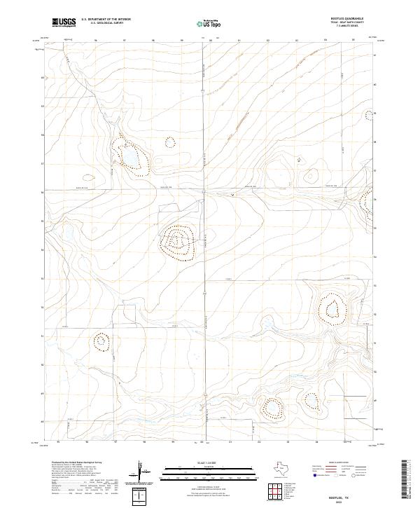
2022 Bootleg
Deaf Smith County, TX
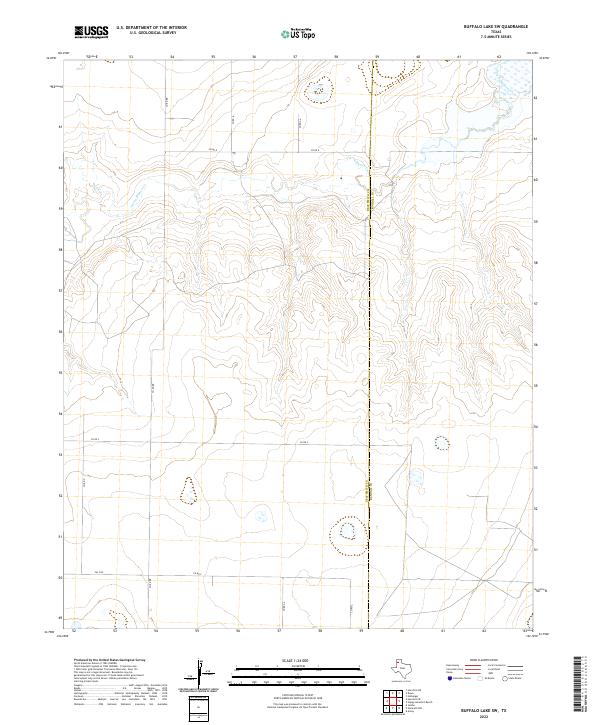
2022 Buffalo Lake SW
Deaf Smith County, TX
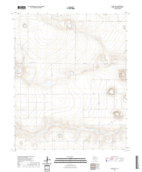
2022 Chalk Hill
Deaf Smith County, TX
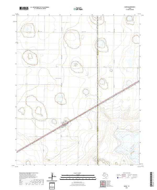
2022 Dawn
Deaf Smith County, TX
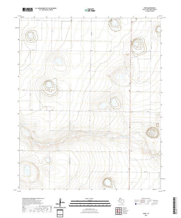
2022 Ford
Deaf Smith County, TX
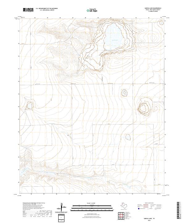
2022 Garcia Lake
Deaf Smith County, TX
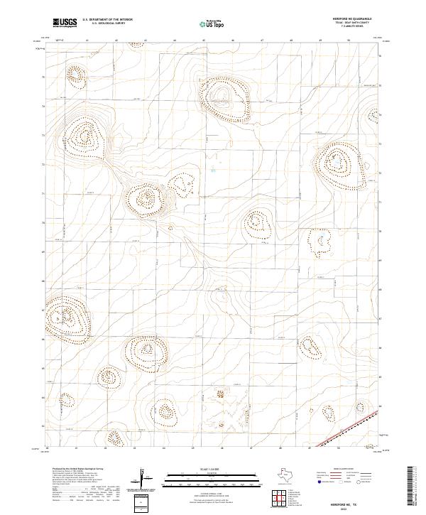
2022 Hereford NE
Deaf Smith County, TX
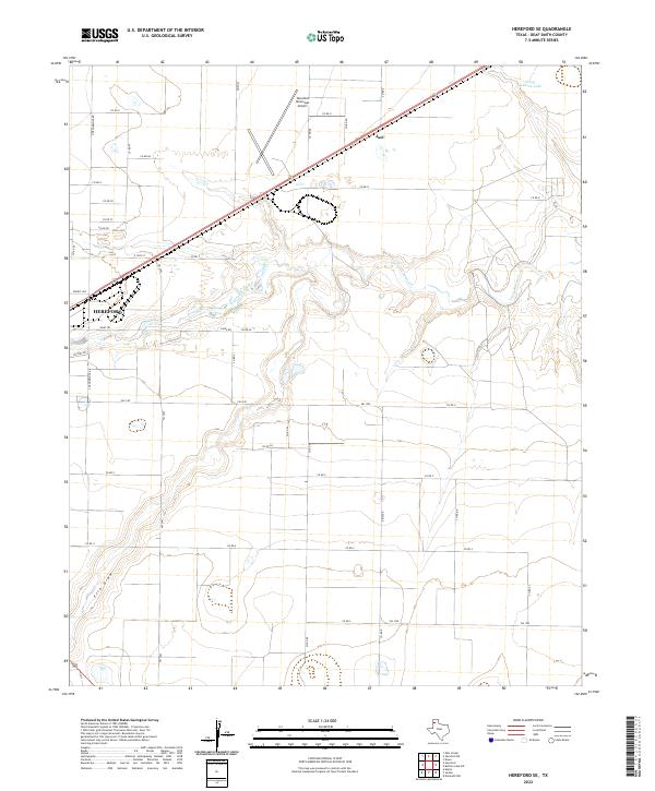
2022 Hereford SE
Deaf Smith County, TX
2022 Milo Center
Deaf Smith County, TX
2022 Mustang Lake
Deaf Smith County, TX
2022 Norton Lake
Deaf Smith County, TX
2022 Overstreet Lake
Deaf Smith County, TX
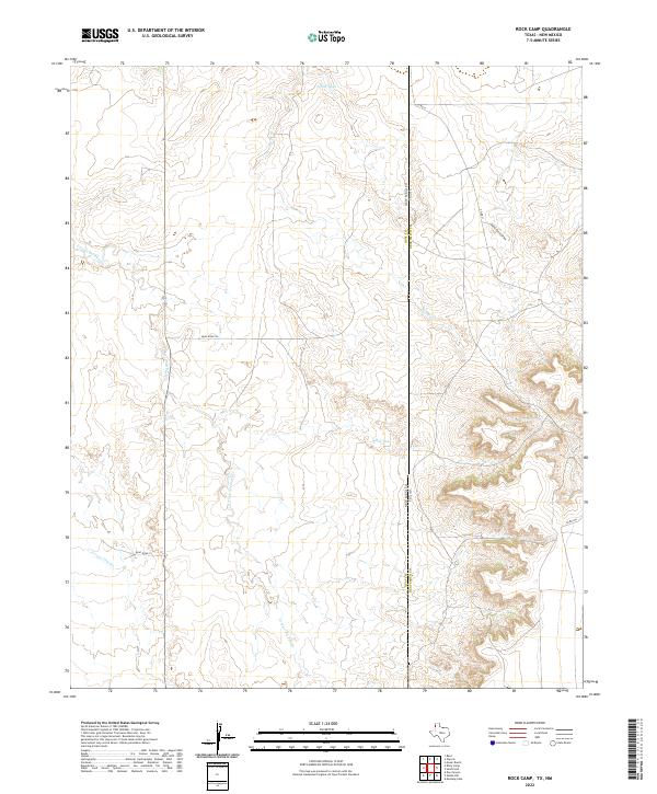
2022 Rock Camp
Deaf Smith County, TX
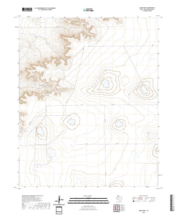
2022 Sand Point
Deaf Smith County, TX
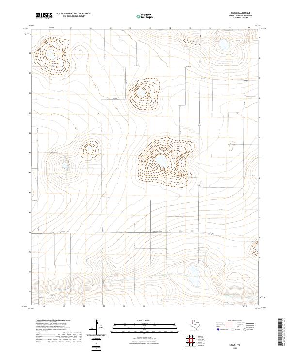
2022 Simms
Deaf Smith County, TX
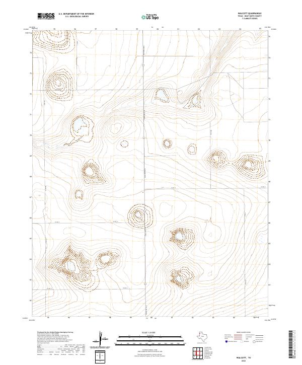
2022 Walcott
Deaf Smith County, TX
2022 Westway
Deaf Smith County, TX
2022 Westway NE
Deaf Smith County, TX
2022 Westway NW
Deaf Smith County, TX
2022 Wildorado SW
Deaf Smith County, TX