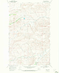
1968 Map of Wetzel
USGS Topo · Published 1972About this map
The Blackfeet Indian Reservation landscape is defined by the convergence of the Milk River's various branches in the late 1960s. This survey focuses on the intricate drainage system where the Middle Fork Milk River, Dry Fork Milk River, and South Fork Milk River meander through coulees and creek beds. The human footprint is sparse but specific, centered around the settlement of Wetzel and the nearby Ponsness Sch, indicating the essential infrastructure for ranching or rural families of the era.
Find a feature on this map
17 named features on this map. Tap any name to fly to it.
Don’t see what you’re looking for? This feature index may not catch every label — zoom into the map to look around manually.
Map Details
Editions of this 1968 Wetzel Map
This is the sole edition of this map. No revisions or reprints were ever made.
Other maps of this area

1901 · Browning
USGS Topo · 1:125,000

1903 · Browning
USGS Topo · 1:125,000

1960 · Cut Bank
USGS Topo · 1:250,000

1963 · Cut Bank
USGS Topo · 1:250,000

1964 · Cut Bank
USGS Topo · 1:250,000

1968 · Josephine
USGS Topo · 1:24,000

1968 · Hoodoo Hill
USGS Topo · 1:24,000
1968 · Duck Lake
USGS Topo · 1:24,000

1968 · Browning NE
USGS Topo · 1:24,000
1968 · Emigrant Gap
USGS Topo · 1:24,000