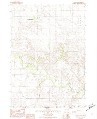
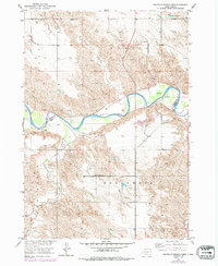
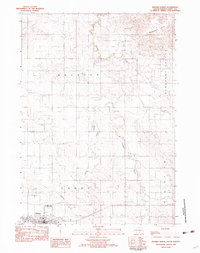
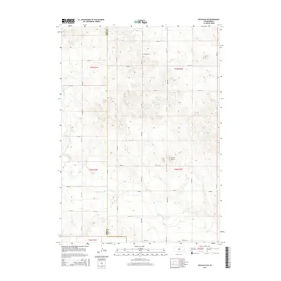
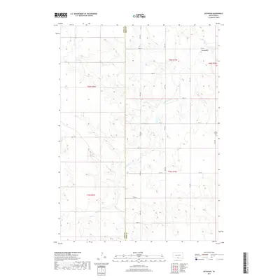
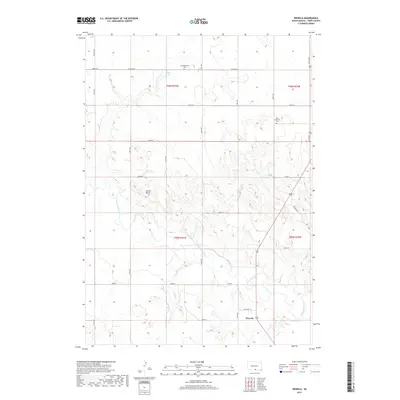
1982 Map of Wewela
USGS Topo · Published 1982About this map
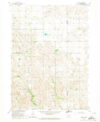
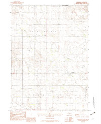
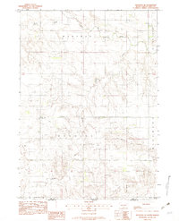
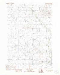
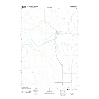
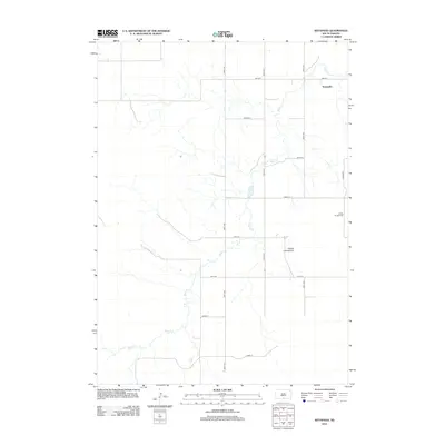
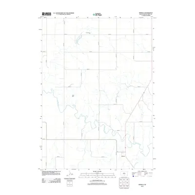
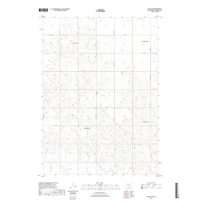
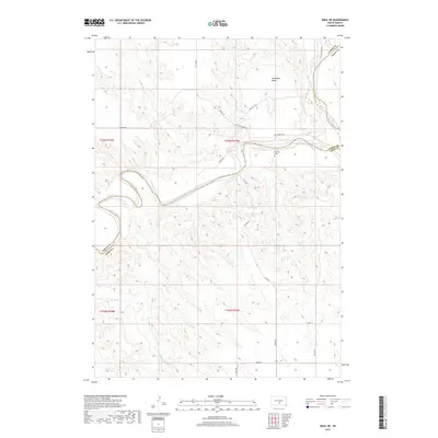
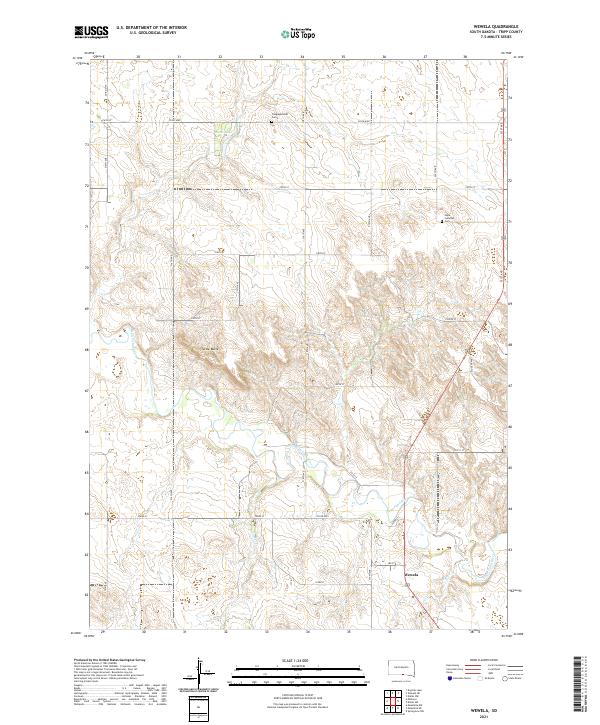
Wewela sits near the border of South Dakota and Nebraska, overlooking the winding path of the Keya Paha River. This early 1980s provisional survey shows the rural landscape of Tripp County, defined by its water resources and conservation areas like the Rahn Dam State Game Production Area. The topography is marked by significant features such as Turtle Butte and the drainage of Timber Creek, which shape the agricultural and grazing land in the region. Local community life is rooted in landmarks like St Pauls Ch, Congregational Cem, and another smaller Cem located near the township line. The map serves as a record of the high plains before further modernization, documenting the specific locations of Rahn Lake and the small residential footprint of Wewela at the turn of the decade.
Find a feature on this map
13 named features on this map. Tap any name to fly to it.
Don’t see what you’re looking for? This feature index may not catch every label — zoom into the map to look around manually.
Map Details
Editions of this 1982 Wewela Map
This is the sole edition of this map. No revisions or reprints were ever made.
Historical Maps of Ideal Segment Through Time
150 maps found
1951 Ideal NE
Tripp County, SD
1951 Ideal NW
Tripp County, SD
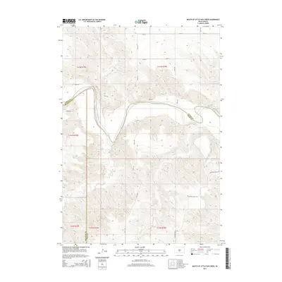
1951 Mouth of Little Dog Creek
Tripp County, SD
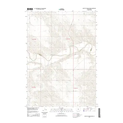
1951 Mouth of Mission Creek
Tripp County, SD
1952 Hamill NW
Tripp County, SD
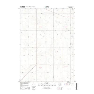
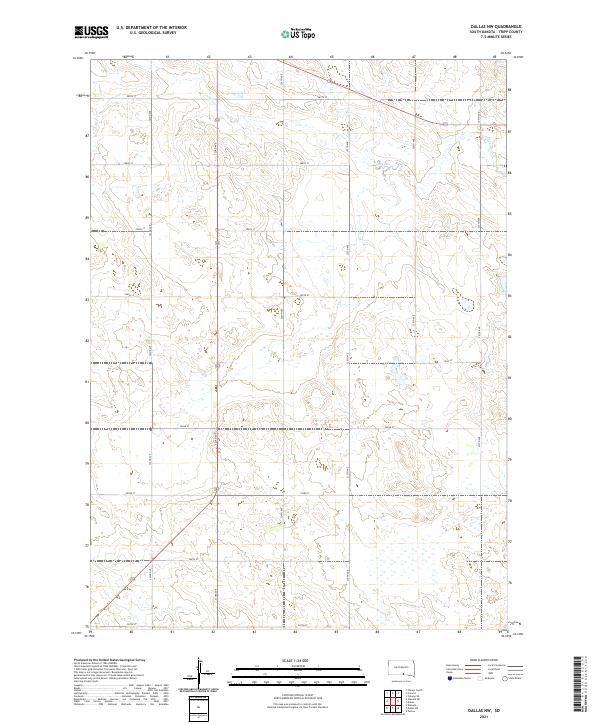
1964 Dallas NW
Tripp County, SD
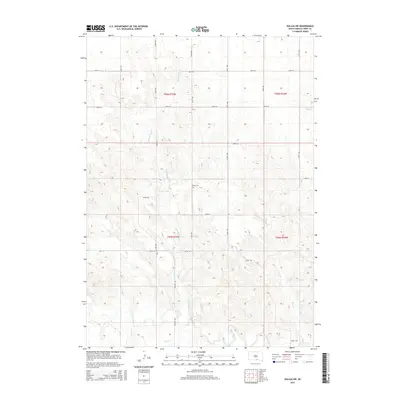
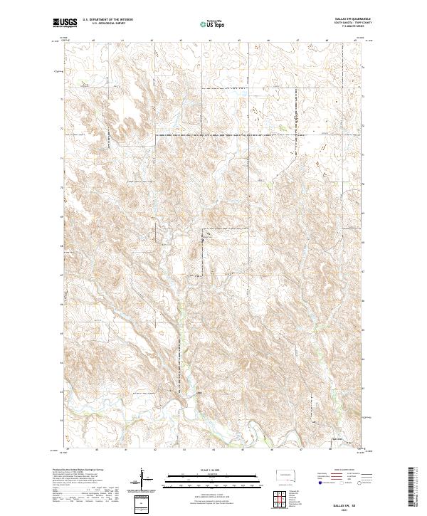
1964 Dallas SW
Tripp County, SD
1964 Paxton
Tripp County, SD
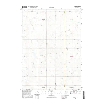
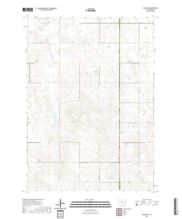
1971 Colome SE
Tripp County, SD
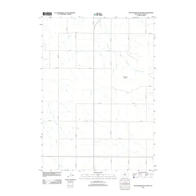
1971 Rattlesnake Butte East
Tripp County, SD
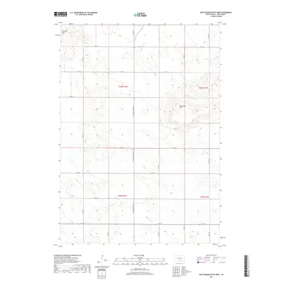
1971 Rattlesnake Butte West
Tripp County, SD

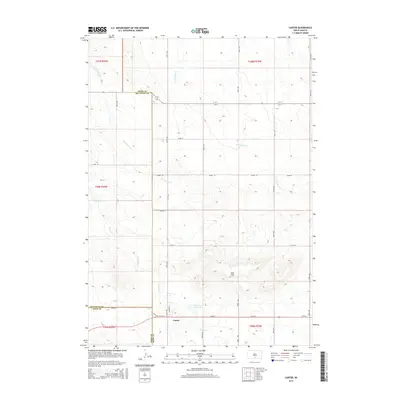
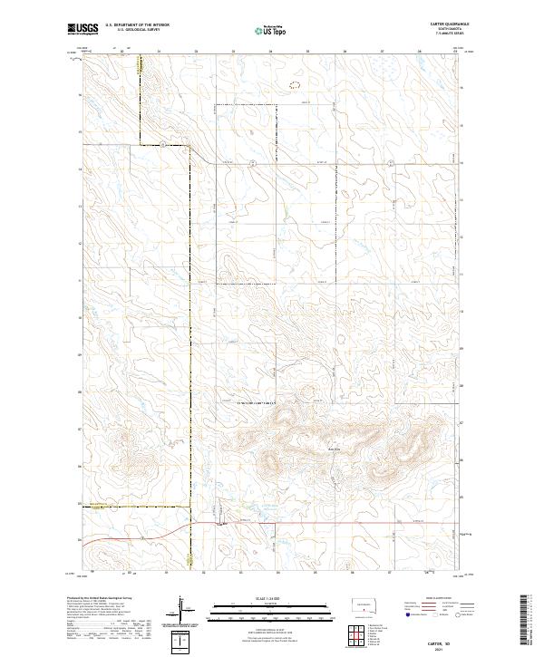
1982 Carter
Tripp County, SD
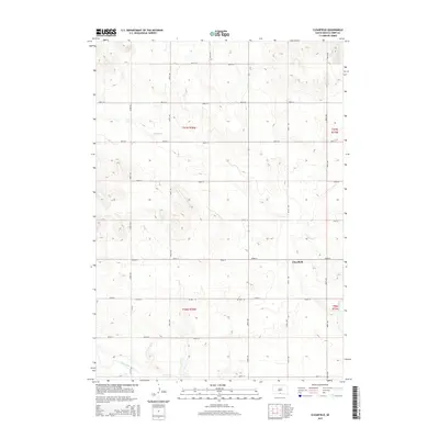
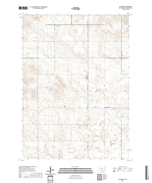
1982 Clearfield
Tripp County, SD
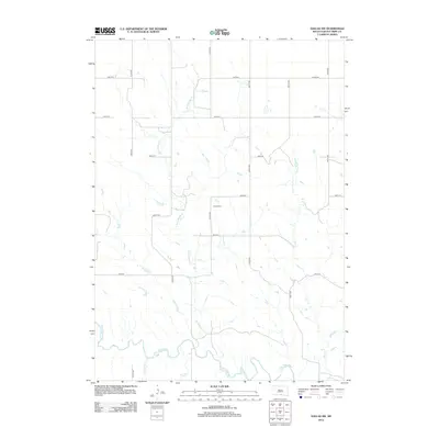
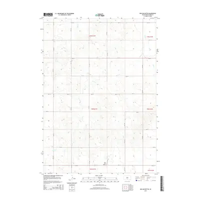
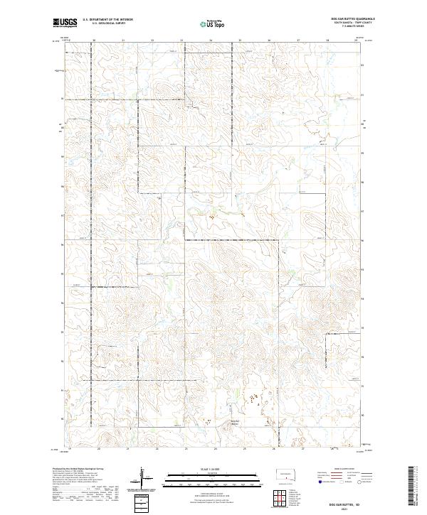
1982 Dog Ear Buttes
Tripp County, SD
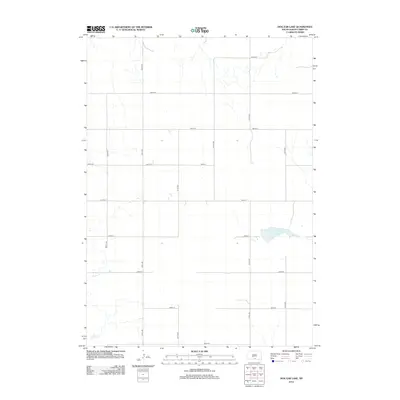
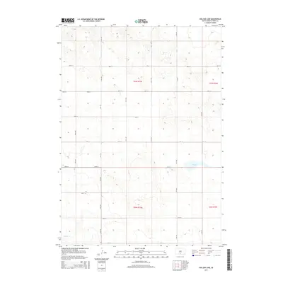
1982 Dog Ear Lake
Tripp County, SD
1982 Keyapaha NW
Tripp County, SD
1982 Keyapaha SE
Tripp County, SD
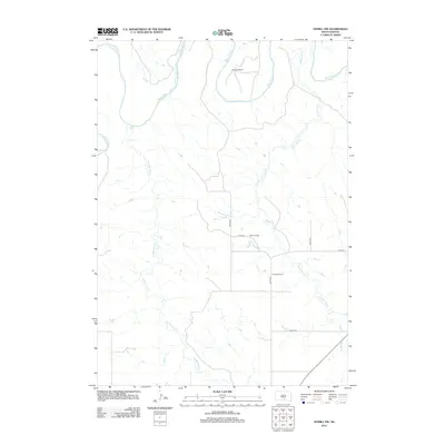
1982 Keyapaha
Tripp County, SD
1982 King Dam
Tripp County, SD
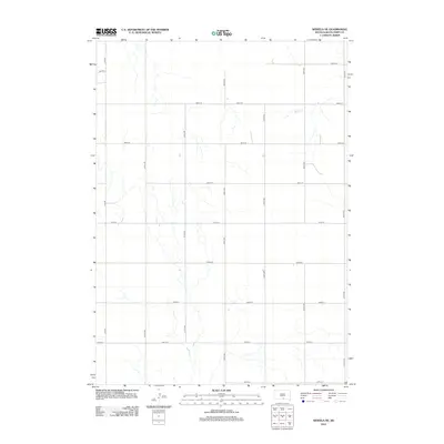
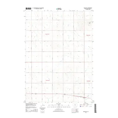
1982 Millboro
Tripp County, SD
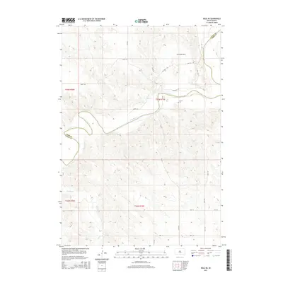
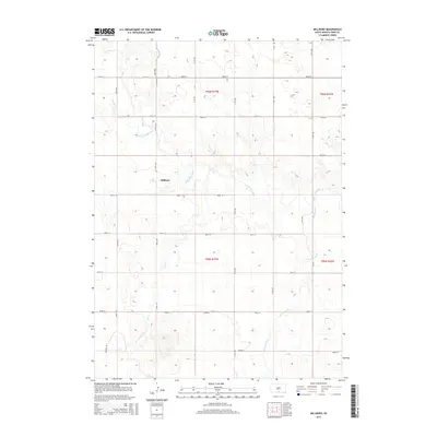
1982 Miller Hill
Tripp County, SD
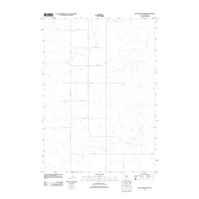
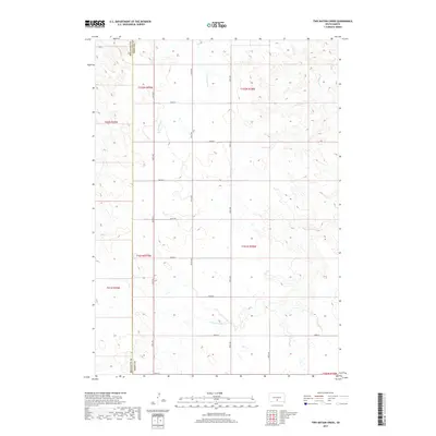
1982 Two Nation Creek
Tripp County, SD
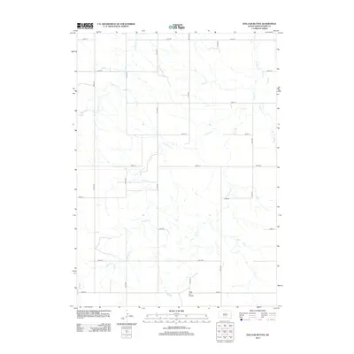
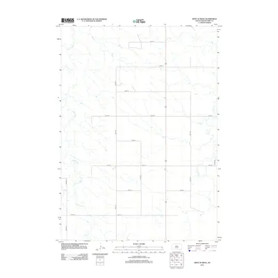
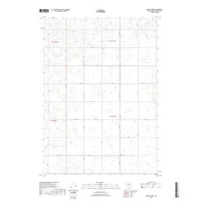
1982 West Of Ideal
Tripp County, SD
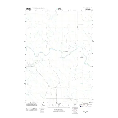
1982 Wewela NE
Tripp County, SD
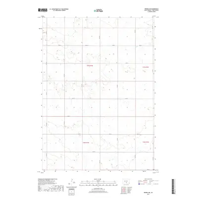
1982 Wewela
Tripp County, SD
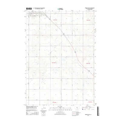
1982 Winner North
Tripp County, SD
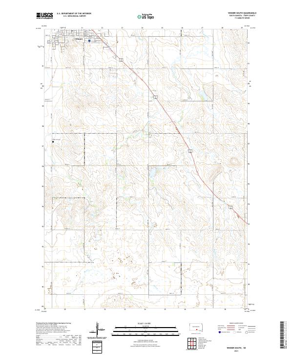
1982 Winner South
Tripp County, SD
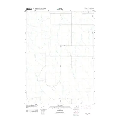
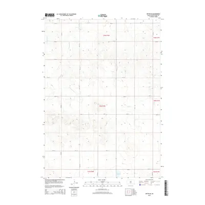
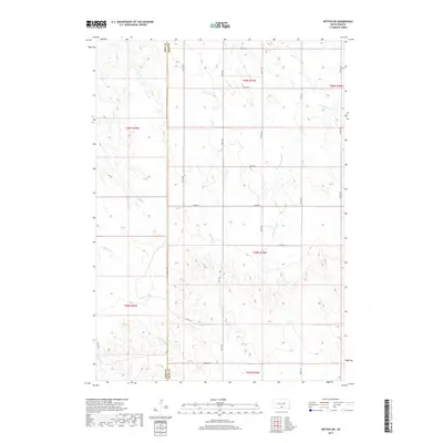
1982 Witten SE
Tripp County, SD
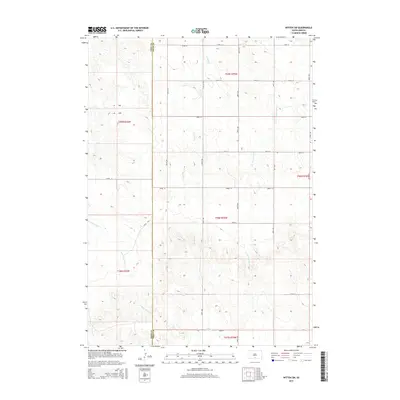
1982 Witten SW
Tripp County, SD

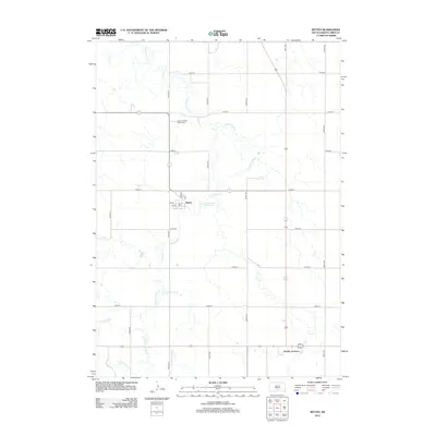
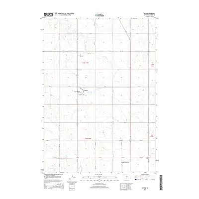
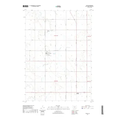
1982 Witten
Tripp County, SD
2012 Carter
Tripp County, SD
2012 Clearfield
Tripp County, SD
2012 Colome SE
Tripp County, SD
2012 Dallas NW
Tripp County, SD
2012 Dallas SW
Tripp County, SD
2012 Dog Ear Buttes
Tripp County, SD
2012 Dog Ear Lake
Tripp County, SD
2012 Hamill NW
Tripp County, SD
2012 Ideal NE
Tripp County, SD
2012 Ideal NW
Tripp County, SD
2012 Keyapaha NW
Tripp County, SD
2012 Keyapaha SE
Tripp County, SD
2012 Keyapaha
Tripp County, SD
2012 King Dam
Tripp County, SD
2012 Millboro
Tripp County, SD
2012 Miller Hill
Tripp County, SD
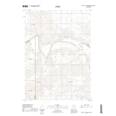
2012 Mouth of Little Dog Creek
Tripp County, SD
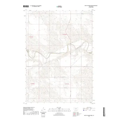
2012 Mouth of Mission Creek
Tripp County, SD
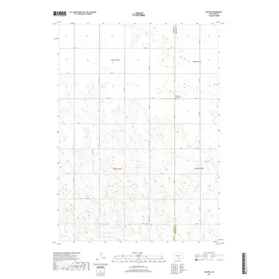
2012 Paxton
Tripp County, SD
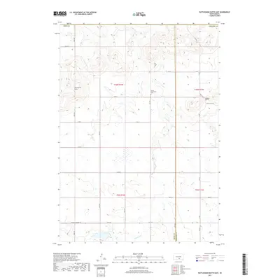
2012 Rattlesnake Butte East
Tripp County, SD
2012 Rattlesnake Butte West
Tripp County, SD
2012 Two Nation Creek
Tripp County, SD
2012 West of Ideal
Tripp County, SD
2012 Wewela NE
Tripp County, SD
2012 Wewela
Tripp County, SD
2012 Winner North
Tripp County, SD
2012 Winner South
Tripp County, SD
2012 Witten SE
Tripp County, SD
2012 Witten SW
Tripp County, SD
2012 Witten
Tripp County, SD
2015 Carter
Tripp County, SD
2015 Clearfield
Tripp County, SD
2015 Colome SE
Tripp County, SD
2015 Dallas NW
Tripp County, SD
2015 Dallas SW
Tripp County, SD
2015 Dog Ear Buttes
Tripp County, SD
2015 Dog Ear Lake
Tripp County, SD
2015 Hamill NW
Tripp County, SD
2015 Ideal NE
Tripp County, SD
2015 Ideal NW
Tripp County, SD
2015 Keyapaha NW
Tripp County, SD
2015 Keyapaha SE
Tripp County, SD
2015 Keyapaha
Tripp County, SD
2015 King Dam
Tripp County, SD
2015 Millboro
Tripp County, SD
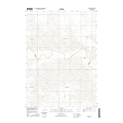
2015 Miller Hill
Tripp County, SD
2015 Mouth of Little Dog Creek
Tripp County, SD
2015 Mouth of Mission Creek
Tripp County, SD
2015 Paxton
Tripp County, SD
2015 Rattlesnake Butte East
Tripp County, SD
2015 Rattlesnake Butte West
Tripp County, SD
2015 Two Nation Creek
Tripp County, SD
2015 West of Ideal
Tripp County, SD
2015 Wewela NE
Tripp County, SD
2015 Wewela
Tripp County, SD
2015 Winner North
Tripp County, SD
2015 Winner South
Tripp County, SD
2015 Witten SE
Tripp County, SD
2015 Witten SW
Tripp County, SD
2015 Witten
Tripp County, SD
2017 Carter
Tripp County, SD
2017 Clearfield
Tripp County, SD
2017 Colome SE
Tripp County, SD
2017 Dallas NW
Tripp County, SD
2017 Dallas SW
Tripp County, SD
2017 Dog Ear Buttes
Tripp County, SD
2017 Dog Ear Lake
Tripp County, SD
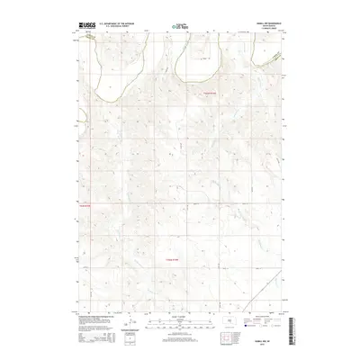
2017 Hamill NW
Tripp County, SD
2017 Ideal NE
Tripp County, SD
2017 Ideal NW
Tripp County, SD
2017 Keyapaha NW
Tripp County, SD
2017 Keyapaha SE
Tripp County, SD
2017 Keyapaha
Tripp County, SD
2017 King Dam
Tripp County, SD
2017 Millboro
Tripp County, SD
2017 Miller Hill
Tripp County, SD
2017 Mouth of Little Dog Creek
Tripp County, SD
2017 Mouth of Mission Creek
Tripp County, SD
2017 Paxton
Tripp County, SD
2017 Rattlesnake Butte East
Tripp County, SD
2017 Rattlesnake Butte West
Tripp County, SD
2017 Two Nation Creek
Tripp County, SD
2017 West of Ideal
Tripp County, SD
2017 Wewela NE
Tripp County, SD
2017 Wewela
Tripp County, SD
2017 Winner North
Tripp County, SD
2017 Winner South
Tripp County, SD
2017 Witten SE
Tripp County, SD
2017 Witten SW
Tripp County, SD
2017 Witten
Tripp County, SD
2021 Carter
Tripp County, SD
2021 Clearfield
Tripp County, SD
2021 Colome SE
Tripp County, SD
2021 Dallas NW
Tripp County, SD
2021 Dallas SW
Tripp County, SD
2021 Dog Ear Buttes
Tripp County, SD
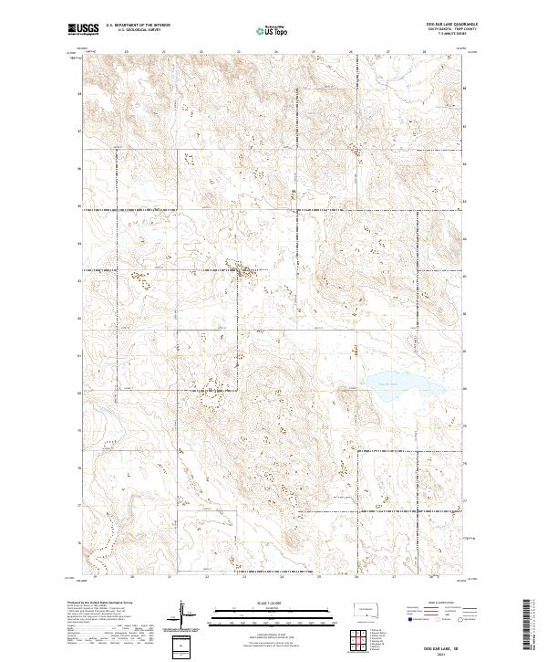
2021 Dog Ear Lake
Tripp County, SD
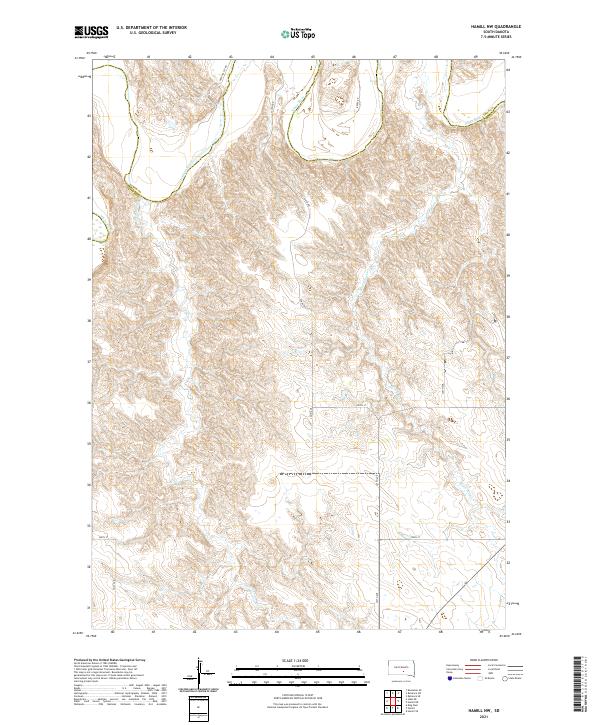
2021 Hamill NW
Tripp County, SD
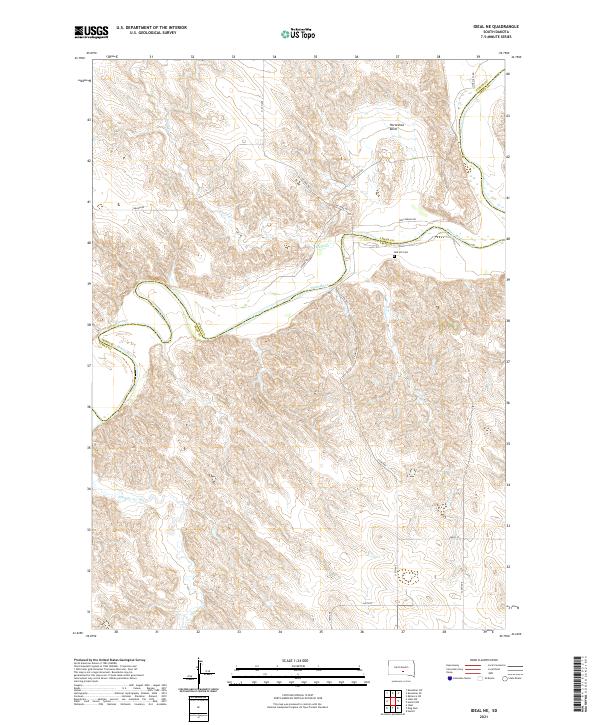
2021 Ideal NE
Tripp County, SD
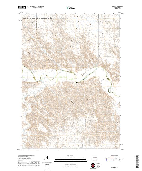
2021 Ideal NW
Tripp County, SD
2021 Keyapaha NW
Tripp County, SD
2021 Keyapaha SE
Tripp County, SD
2021 Keyapaha
Tripp County, SD
2021 King Dam
Tripp County, SD
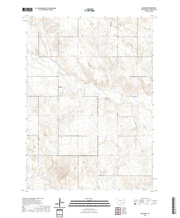
2021 Millboro
Tripp County, SD
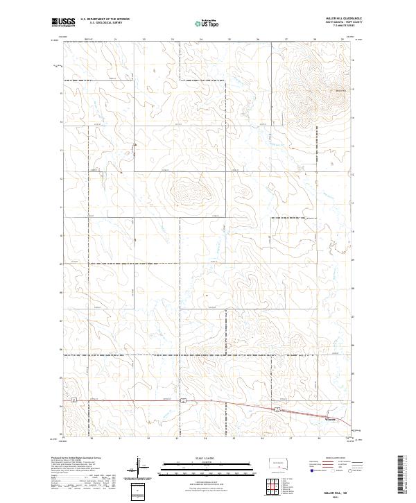
2021 Miller Hill
Tripp County, SD
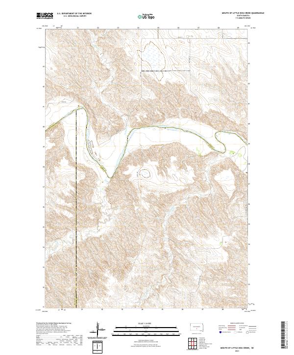
2021 Mouth of Little Dog Creek
Tripp County, SD
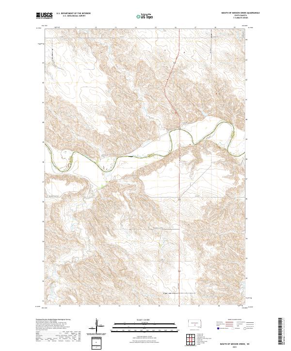
2021 Mouth of Mission Creek
Tripp County, SD
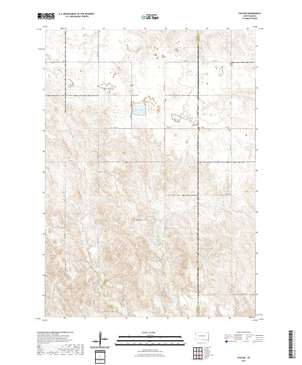
2021 Paxton
Tripp County, SD
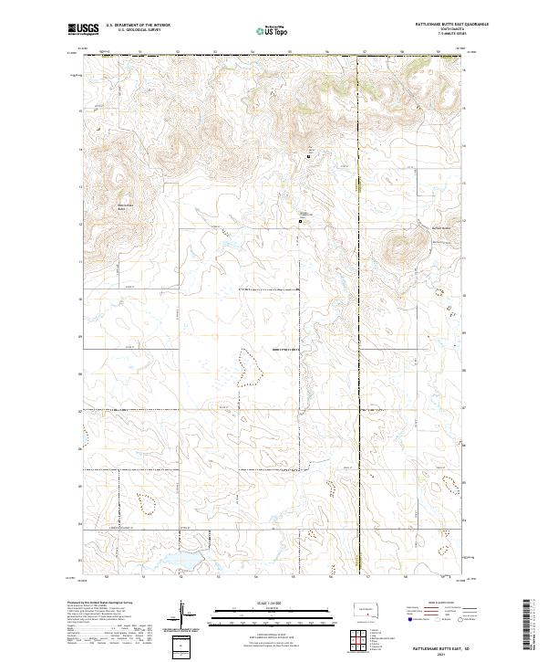
2021 Rattlesnake Butte East
Tripp County, SD
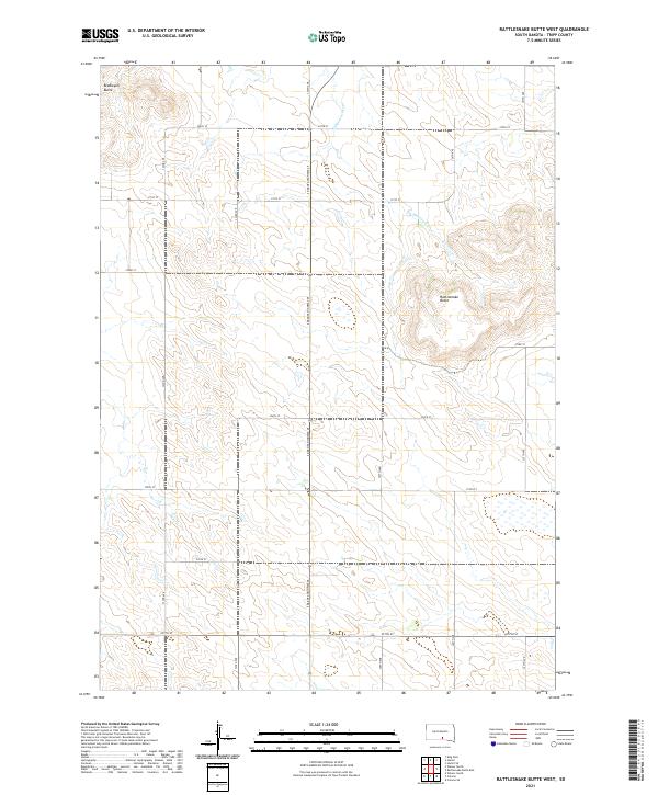
2021 Rattlesnake Butte West
Tripp County, SD
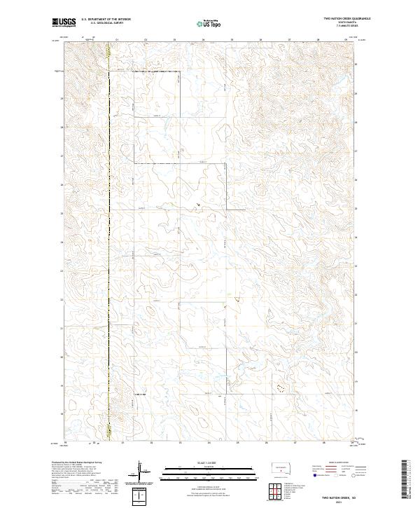
2021 Two Nation Creek
Tripp County, SD
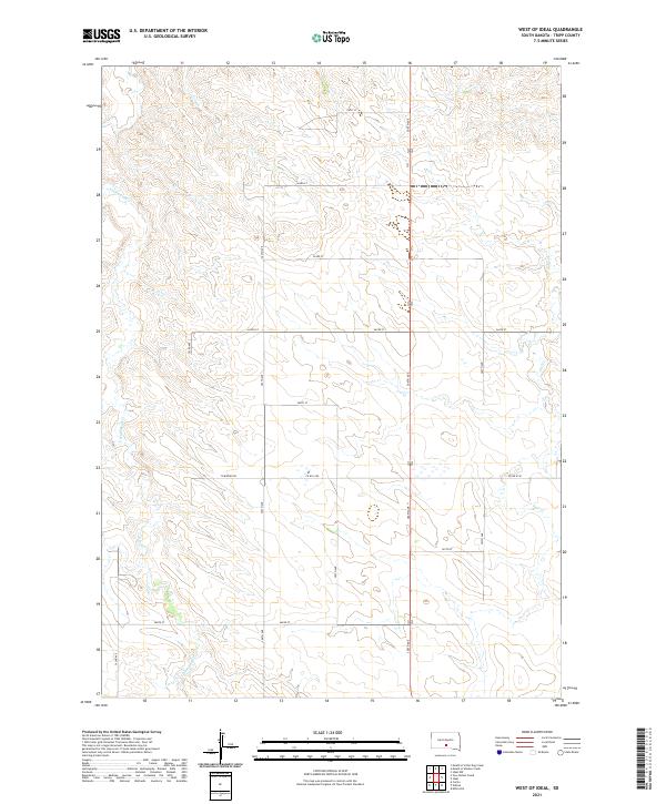
2021 West of Ideal
Tripp County, SD
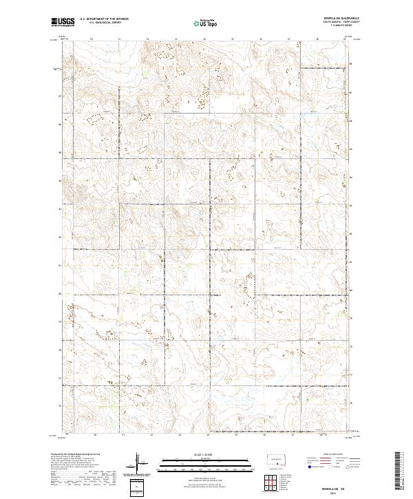
2021 Wewela NE
Tripp County, SD
2021 Wewela
Tripp County, SD
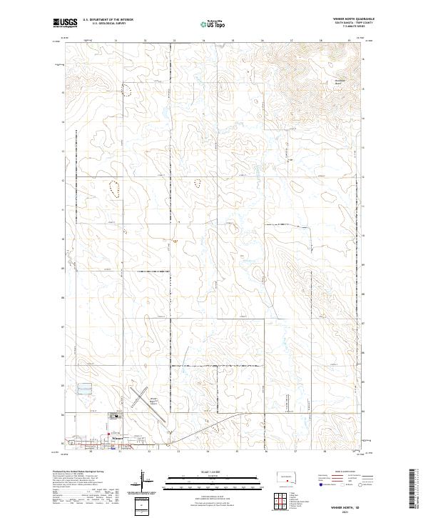
2021 Winner North
Tripp County, SD
2021 Winner South
Tripp County, SD
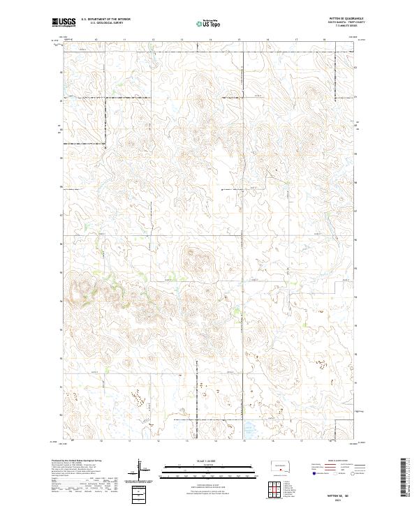
2021 Witten SE
Tripp County, SD
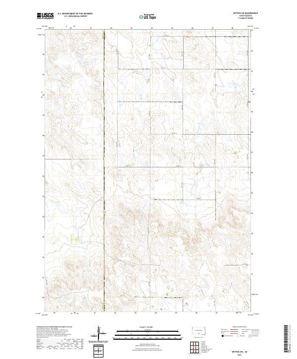
2021 Witten SW
Tripp County, SD

2021 Witten
Tripp County, SD