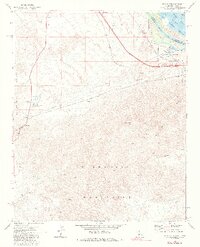
1971 Map of Whale Mtn.
USGS Topo · Published 1988About this map
The Colorado River carves through the boundary of California and Arizona, defining a landscape shaped by industrial infrastructure and conservation efforts in the early 1970s. This survey records the corridor of the Atchison Topeka and Santa Fe railroad and the Old Trails Road as they bypass the high peaks of the Sacramento Mountains and Chemehuevi Mountains. Utility development is prominent, marked by a massive Pipeline network and the South Needles Compressor Station.
Find a feature on this map
30 named features on this map. Tap any name to fly to it.
Don’t see what you’re looking for? This feature index may not catch every label — zoom into the map to look around manually.
Map Details
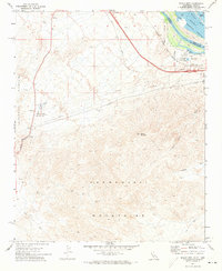
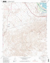
Editions of this 1971 Whale Mtn. Map
3 editions found
Other maps of this area

1903 · Needles
USGS Topo · 1:125,000

1904 · Needles Special
USGS Topo · 1:125,000

1943 · Topock
USGS Topo · 1:62,500

1950 · Topock
USGS Topo · 1:62,500

1950 · Sawtooth Range
USGS Topo · 1:62,500

1950 · Needles
USGS Topo · 1:62,500

1951 · Topock
USGS Topo · 1:62,500

1951 · Sawtooth Range
USGS Topo · 1:62,500

1952 · Needles
USGS Topo · 1:62,500

1954 · Needles
USGS Topo · 1:250,000