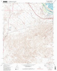
1971 Map of Whale Mtn
USGS Topo · Published 1988About this map
The Colorado River defines the border between California and Arizona in this arid landscape, where the rugged peaks of the Chemehuevi Mountains and Sacramento Mountains dominate the terrain. Industrial footprints are visible through the South Needles Compressor Station and multiple Borrow Pits, while a series of pipelines cut across the desert floor toward Lobecks Pass. Resource extraction is further evidenced by the Blue Boy Mine and various prospects tucked into the mountain draws.
Find a feature on this map
30 named features on this map. Tap any name to fly to it.
Don’t see what you’re looking for? This feature index may not catch every label — zoom into the map to look around manually.
Map Details
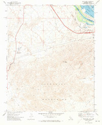
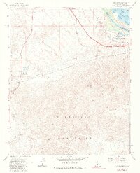
Editions of this 1971 Whale Mtn Map
3 editions found
Other maps of this area

1903 · Needles
USGS Topo · 1:125,000

1904 · Needles Special
USGS Topo · 1:125,000

1943 · Topock
USGS Topo · 1:62,500

1950 · Topock
USGS Topo · 1:62,500

1950 · Sawtooth Range
USGS Topo · 1:62,500

1950 · Needles
USGS Topo · 1:62,500

1951 · Topock
USGS Topo · 1:62,500

1951 · Sawtooth Range
USGS Topo · 1:62,500

1952 · Needles
USGS Topo · 1:62,500

1954 · Needles
USGS Topo · 1:250,000