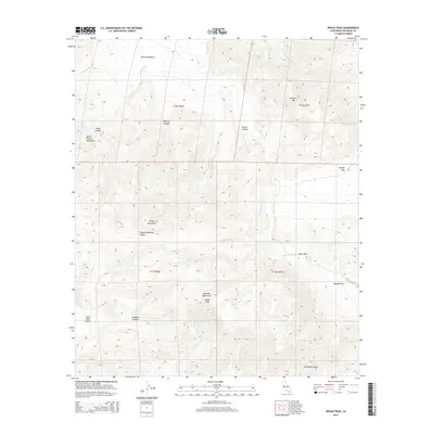
2015 Map of Whale Peak
USGS Topo · Published 2015About this map
Whale Peak stands as the central landmark of this arid San Diego County terrain, where the Vallecito Mountains meet the Pinyon Mountains. The landscape is defined by an intricate network of desert drainages, including the prominent Fish Cr Wash, June Wash, and Pinyon Wash. Evidence of the region's geological and human transit history appears in features like Split Rock and the winding Smuggler Canyon.
Find a feature on this map
30 named features on this map. Tap any name to fly to it.
Don’t see what you’re looking for? This feature index may not catch every label — zoom into the map to look around manually.
Map Details
Editions of this 2015 Whale Peak Map
This is the sole edition of this map. No revisions or reprints were ever made.
Other maps of this area

1931 · Vallecito
USGS Topo · 1:125,000

1931 · Carrizo
USGS Topo · 1:125,000

1939 · Borrego
USGS Topo · 1:62,500

1942 · Barrel Spring
USGS Topo · 1:62,500

1942 · Borego
USGS Topo · 1:62,500

1942 · Carrizo Mtn
USGS Topo · 1:62,500

1942 · Cuyapaipe
USGS Topo · 1:62,500

1943 · Vallecito
USGS Topo · 1:125,000

1947 · Santa Ana
USGS Topo · 1:250,000
1947 · Barrel Spring
USGS Topo · 1:62,500