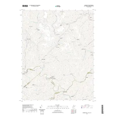
2019 Map of Wharncliffe
USGS Topo · Published 2019About this map
Gilbert and the surrounding coal-country settlements define this landscape along the complex borderlands of West Virginia, Kentucky, and Virginia. This late-2010s study traces the winding paths of the Gilbert Creek and Ben Creek drainages, where narrow valleys have dictated the patterns of human habitation for generations. The geography is punctuated by specific family legacies, visible in the numerous burial grounds such as Mounts Cemetery and Ritchie and Cline Cemetery.
Find a feature on this map
102 named features on this map. Tap any name to fly to it.
Don’t see what you’re looking for? This feature index may not catch every label — zoom into the map to look around manually.
Map Details
Editions of this 2019 Wharncliffe Map
This is the sole edition of this map. No revisions or reprints were ever made.
Other maps of this area

1886 · Grundy
USGS Topo · 1:125,000

1887 · Warfield
USGS Topo · 1:125,000

1890 · Grundy
USGS Topo · 1:125,000

1891 · Tazewell
USGS Topo · 1:125,000

1891 · Oceana
USGS Topo · 1:125,000

1891 · Warfield
USGS Topo · 1:125,000

1892 · Grundy
USGS Topo · 1:125,000

1893 · Oceana
USGS Topo · 1:125,000

1895 · Tazewell
USGS Topo · 1:125,000

1897 · Tazewell
USGS Topo · 1:125,000