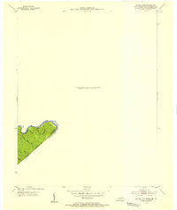
1954 Map of Wharncliffe
USGS Topo · Published 1955About this map
The Tug Fork carves a sharp, winding boundary through the steep hills of the central Appalachians, marking the division between West Virginia and Kentucky in the mid-1950s. This survey focuses on a remote, topographically complex stretch where Mingo County meets Pike County and Buchanan County. The landscape is defined by its hollows, including Staggerweed Hol, Beech Hol, and Foundry Hol, which reflect the local naming traditions of these deep wooded valleys.
Find a feature on this map
15 named features on this map. Tap any name to fly to it.
Don’t see what you’re looking for? This feature index may not catch every label — zoom into the map to look around manually.
Map Details
Editions of this 1954 Wharncliffe Map
This is the sole edition of this map. No revisions or reprints were ever made.
Other maps of this area

1886 · Grundy
USGS Topo · 1:125,000

1887 · Warfield
USGS Topo · 1:125,000

1890 · Grundy
USGS Topo · 1:125,000

1891 · Tazewell
USGS Topo · 1:125,000

1891 · Oceana
USGS Topo · 1:125,000

1891 · Warfield
USGS Topo · 1:125,000

1892 · Grundy
USGS Topo · 1:125,000

1893 · Oceana
USGS Topo · 1:125,000

1895 · Tazewell
USGS Topo · 1:125,000

1897 · Tazewell
USGS Topo · 1:125,000