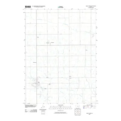
2010 Map of What Cheer
USGS Topo · Published 2010About this map
The South English River flows across the northern reaches of this Keokuk County landscape, a region defined by its rural grid and historic burial grounds. The namesake community of What Cheer occupies the southwestern corner, anchored by the What Cheer Post Office, while the smaller settlement of Thornburg sits to the north near its own Thornburg Post Office. This area is particularly rich for genealogical research, documenting numerous family and community landmarks such as McFarlan Cemetery, Bailey Cemetery, and Saint Josephs Cemetery. Between the clusters of homes in Jamestown and the larger town centers, a network of waterways including Coal Creek, Smith Creek, and Rock Creek carves through the farmland. The presence of Old Pottery Rd near the southern boundary hints at the local industry that once shaped this corner of Iowa, offering a clear view of the section lines and rural infrastructure that have long characterized the local township structure.
Find a feature on this map
38 named features on this map. Tap any name to fly to it.
Don’t see what you’re looking for? This feature index may not catch every label — zoom into the map to look around manually.
Map Details
Editions of this 2010 What Cheer Map
This is the sole edition of this map. No revisions or reprints were ever made.
Other maps of this area

1954 · Des Moines
USGS Topo · 1:250,000

1956 · Des Moines
USGS Topo · 1:250,000

1957 · Des Moines
USGS Topo · 1:250,000

1965 · Gibson
USGS Topo · 1:24,000

1965 · Rose Hill
USGS Topo · 1:24,000

1965 · What Cheer
USGS Topo · 1:24,000

1965 · Keswick
USGS Topo · 1:24,000

1965 · Sigourney
USGS Topo · 1:24,000

1965 · Delta
USGS Topo · 1:24,000

1968 · Deep River
USGS Topo · 1:24,000