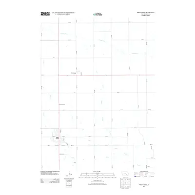
2013 Map of What Cheer
USGS Topo · Published 2013About this map
What Cheer serves as the primary hub in this Keokuk County landscape, where a rigid grid of agricultural roads meets the meandering paths of S English River and Coal Cr. The town's local street plan includes historically evocative names like Old Pottery Rd, W Briney St, and E Mill St, reflecting a community built around early local industry and trade. Further north, the smaller settlements of Thornburg and Jamestown sit along the north-south corridor of Iowa 21, marking the transition between the rolling drainages of Smith Cr and Rock Cr. This survey illustrates the modern layout of a quintessential Iowa farming region, showing how section-line roads like 140th St and 180th St have organized the land around these established rural centers.
Find a feature on this map
41 named features on this map. Tap any name to fly to it.
Don’t see what you’re looking for? This feature index may not catch every label — zoom into the map to look around manually.
Map Details
Editions of this 2013 What Cheer Map
This is the sole edition of this map. No revisions or reprints were ever made.
Other maps of this area

1954 · Des Moines
USGS Topo · 1:250,000

1956 · Des Moines
USGS Topo · 1:250,000

1957 · Des Moines
USGS Topo · 1:250,000

1965 · Gibson
USGS Topo · 1:24,000

1965 · Rose Hill
USGS Topo · 1:24,000

1965 · What Cheer
USGS Topo · 1:24,000

1965 · Keswick
USGS Topo · 1:24,000

1965 · Sigourney
USGS Topo · 1:24,000

1965 · Delta
USGS Topo · 1:24,000

1968 · Deep River
USGS Topo · 1:24,000