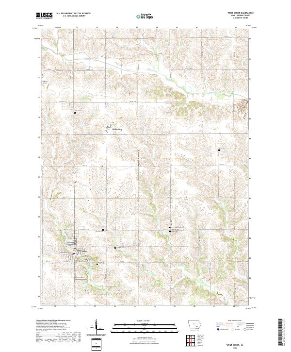
2022 Map of What Cheer
USGS Topo · Published 2022About this map
What Cheer and the nearby village of Thornburg anchor this rural landscape in Keokuk County. The terrain is deeply defined by the drainage patterns of the S English River to the north and a network of creeks including Coal Cr, Rock Cr, and Smith Cr that carve through the sectioned farmland. This area is notably dense with small family and community burial grounds, preserving local genealogy through sites such as Sixteen Cem, Bailey Cem, Mcfarlan Cem, and Highland Cem. The intersection of Co Hwy G29 and 170th St serves as a local hub near Saint Martin Evangelical Lutheran Cem. To the west of the main settlements, the Mggenas Airport provides a modern navigational landmark amidst the traditional grid of county roads like 110th St and 180th St.
Find a feature on this map
43 named features on this map. Tap any name to fly to it.
Don’t see what you’re looking for? This feature index may not catch every label — zoom into the map to look around manually.
Map Details
Editions of this 2022 What Cheer Map
This is the sole edition of this map. No revisions or reprints were ever made.
Other maps of this area

1954 · Des Moines
USGS Topo · 1:250,000

1956 · Des Moines
USGS Topo · 1:250,000

1957 · Des Moines
USGS Topo · 1:250,000

1965 · Gibson
USGS Topo · 1:24,000

1965 · Rose Hill
USGS Topo · 1:24,000

1965 · What Cheer
USGS Topo · 1:24,000

1965 · Keswick
USGS Topo · 1:24,000

1965 · Sigourney
USGS Topo · 1:24,000

1965 · Delta
USGS Topo · 1:24,000

1968 · Deep River
USGS Topo · 1:24,000