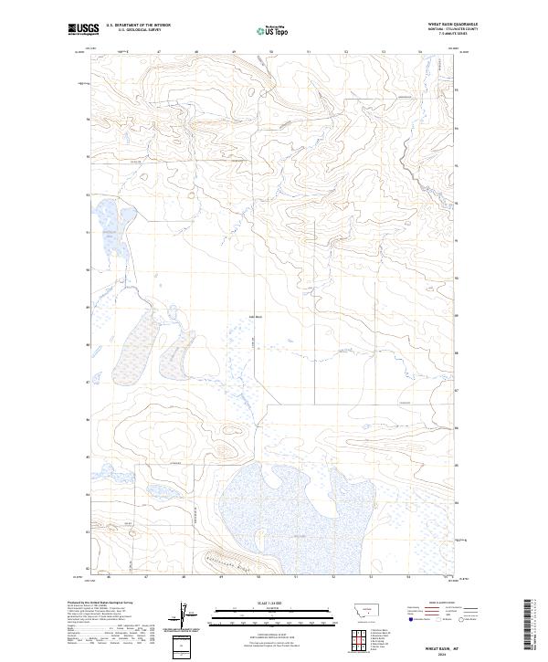
2024 Map of Wheat Basin
USGS Topo · Published 2024About this map
The Grass Lake National Wildlife Refuge anchors the western portion of this Stillwater County landscape, highlighting a region defined by its significant hydrography and ephemeral water bodies. Large, seasonally fluctuating features like Halfbreed Lake, Lake Basin, and Big Lake dominate the terrain, reflecting the unique drainage patterns of the high plains. These wetlands are connected by a network of drainage ways including Cedar Creek and Lost Creek, which navigate the subtle elevation changes of the prairie.
Find a feature on this map
18 named features on this map. Tap any name to fly to it.
Don’t see what you’re looking for? This feature index may not catch every label — zoom into the map to look around manually.
Map Details
Editions of this 2024 Wheat Basin Map
This is the sole edition of this map. No revisions or reprints were ever made.
Other maps of this area

1889 · Big Snowy Mountain
USGS Topo · 1:250,000

1892 · Stillwater
USGS Topo · 1:125,000

1893 · Big Snowy Mountain
USGS Topo · 1:250,000

1954 · Billings
USGS Topo · 1:250,000

1954 · Roundup
USGS Topo · 1:250,000

1956 · Hunter Lake
USGS Topo · 1:24,000

1956 · Battle Butte
USGS Topo · 1:24,000

1956 · Molt
USGS Topo · 1:24,000

1956 · Wheat Basin
USGS Topo · 1:24,000

1956 · Rock Spring
USGS Topo · 1:24,000