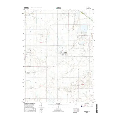
2016 Map of Wheatfield
USGS Topo · Published 2016About this map
The town of Wheatfield serves as the focal point of this Northwest Indiana landscape, where a dense grid of residential streets like W Grove St and W Central Ave meets an extensive agricultural drainage network. To the west, the smaller settlement of Stoutsburg sits near the crossing of Co RD 1200 and Co RD 400 W. The northern edge of the quadrangle is defined by the winding course of the Kankakee River, which forms the natural boundary between Porter and Jasper Counties. The surrounding territory is heavily engineered for cultivation, characterized by a complex system of straight-line waterways including the Hickam Lateral, Lateral Number Seventy-Seven, and Heilsher Ditch. Genealogists may find interest in the Kniman Cem located in the southwestern quadrant, while the many named ditches like Delehanty Ditch and Myers Ditch illustrate the long-standing effort to manage the regional water table for farming.
Find a feature on this map
54 named features on this map. Tap any name to fly to it.
Don’t see what you’re looking for? This feature index may not catch every label — zoom into the map to look around manually.
Map Details
Editions of this 2016 Wheatfield Map
This is the sole edition of this map. No revisions or reprints were ever made.
Other maps of this area

1953 · Hebron
USGS Topo · 1:24,000

1953 · Kouts
USGS Topo · 1:24,000

1953 · Chicago
USGS Topo · 1:250,000

1957 · Chicago
USGS Topo · 1:250,000

1957 · Wheatfield
USGS Topo · 1:24,000

1957 · DeMotte
USGS Topo · 1:24,000

1958 · La Crosse
USGS Topo · 1:24,000

1959 · San Pierre
USGS Topo · 1:24,000

1962 · Medaryville
USGS Topo · 1:24,000

1962 · Gifford
USGS Topo · 1:24,000