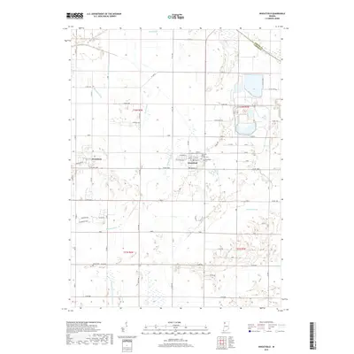
2019 Map of Wheatfield
USGS Topo · Published 2019About this map
Wheatfield serves as the central hub of this northern Indiana landscape, where a grid of rural roads and an extensive network of drainage ditches reflect the area's agricultural engineering. The town center is marked by several community landmarks, including the Sorrowful Mother Catholic Cem and Wheatfield Cem. To the west, the smaller settlement of Stoutsburg sits along the road network, while the southern reaches of the map include the remote Kniman Cem.
Find a feature on this map
56 named features on this map. Tap any name to fly to it.
Don’t see what you’re looking for? This feature index may not catch every label — zoom into the map to look around manually.
Map Details
Editions of this 2019 Wheatfield Map
This is the sole edition of this map. No revisions or reprints were ever made.
Other maps of this area

1953 · Hebron
USGS Topo · 1:24,000

1953 · Kouts
USGS Topo · 1:24,000

1953 · Chicago
USGS Topo · 1:250,000

1957 · Chicago
USGS Topo · 1:250,000

1957 · Wheatfield
USGS Topo · 1:24,000

1957 · DeMotte
USGS Topo · 1:24,000

1958 · La Crosse
USGS Topo · 1:24,000

1959 · San Pierre
USGS Topo · 1:24,000

1962 · Medaryville
USGS Topo · 1:24,000

1962 · Gifford
USGS Topo · 1:24,000