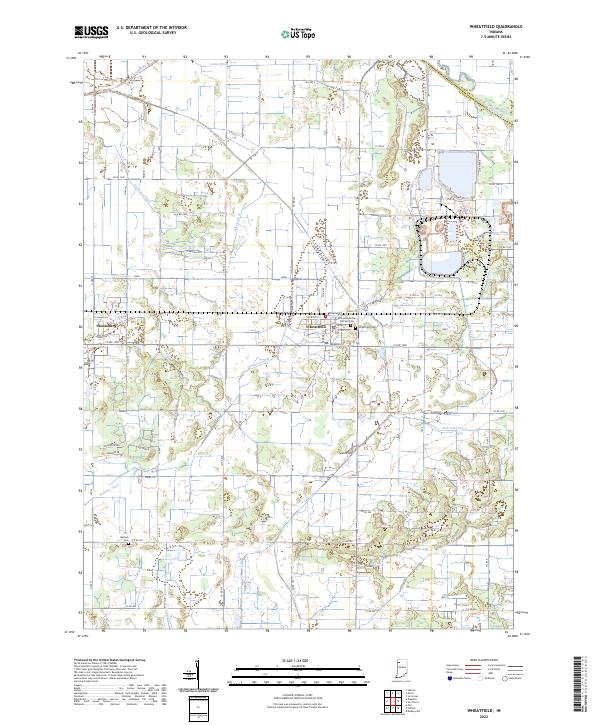
2022 Map of Wheatfield
USGS Topo · Published 2022About this map
The town of Wheatfield serves as the focal point of this northern Indiana landscape, where the grid of Jasper County roads meets a complex network of managed waterways. These drainage features, including Marble Ditch, Delehanty Ditch, and Hickam Lateral, illustrate the intensive reclamation of the Kankakee marshlands for agriculture. The Kankakee River itself forms the northern boundary against Porter County, historically one of the most significant environmental features in the region.
Find a feature on this map
59 named features on this map. Tap any name to fly to it.
Don’t see what you’re looking for? This feature index may not catch every label — zoom into the map to look around manually.
Map Details
Editions of this 2022 Wheatfield Map
This is the sole edition of this map. No revisions or reprints were ever made.
Other maps of this area

1953 · Hebron
USGS Topo · 1:24,000

1953 · Kouts
USGS Topo · 1:24,000

1953 · Chicago
USGS Topo · 1:250,000

1957 · Chicago
USGS Topo · 1:250,000

1957 · Wheatfield
USGS Topo · 1:24,000

1957 · DeMotte
USGS Topo · 1:24,000

1958 · La Crosse
USGS Topo · 1:24,000

1959 · San Pierre
USGS Topo · 1:24,000

1962 · Medaryville
USGS Topo · 1:24,000

1962 · Gifford
USGS Topo · 1:24,000