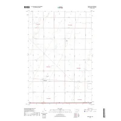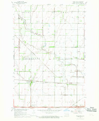
1967 Map of Wheatland
USGS Topo · Published 1969About this map
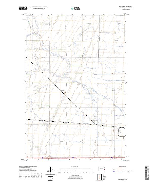
Wheatland serves as the central hub of this agricultural landscape in Cass County, where the transition from traditional rail transport to modern interstate travel is clearly visible. The settlement is positioned along the Northern Pacific railroad, while the Great Northern tracks cut diagonally across the prairie to the north. These rail corridors, once the lifelines of the Red River Valley’s wheat economy, are paralleled by the developing highway system, marked here by the Wheatland/Chaffee Interchange and Lynchburg Interchange.
Find a feature on this map
16 named features on this map. Tap any name to fly to it.
Don’t see what you’re looking for? This feature index may not catch every label — zoom into the map to look around manually.
Map Details
Editions of this 1967 Wheatland Map
This is the sole edition of this map. No revisions or reprints were ever made.
Historical Maps of Wheatland Through Time
6 maps found