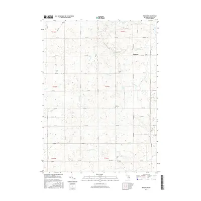
2017 Map of Wheatland
USGS Topo · Published 2017About this map
Wheatland and Locust Corners anchor this rural landscape in Michigan's Hillsdale County, where a dense network of country roads defines the agricultural character of the region. This 2017 study illustrates a township structured by its history of family-named landmarks and small burial grounds, including Randolph Cem, Peace Cem, and Hoxie Cem. The terrain is marked by numerous drainage systems such as Williams Drain and Hoxie Drain, which feed into local water bodies like Ames Lake and Bloomer Lake. These intricate watercourses, including Saint Joseph Cr and Posey Cr, trace the natural hydrology that has dictated land use and settlement patterns since the initial land surveys. For local historians and genealogists, the map provides precise locations for scattered community hubs like Church's Corners Cem and Locust Corner Cem, serving as a record of the area's rural continuity.
Find a feature on this map
67 named features on this map. Tap any name to fly to it.
Don’t see what you’re looking for? This feature index may not catch every label — zoom into the map to look around manually.
Map Details
Editions of this 2017 Wheatland Map
This is the sole edition of this map. No revisions or reprints were ever made.
Other maps of this area

1935 · Jackson
USGS Topo · 1:48,000

1939 · Jackson
USGS Topo · 1:62,500

1948 · Spring Arbor
USGS Topo · 1:62,500

1949 · Spring Arbor
USGS Topo · 1:62,500

1953 · Fort Wayne
USGS Topo · 1:250,000

1956 · Fort Wayne
USGS Topo · 1:250,000

1958 · Grand Rapids
USGS Topo · 1:250,000

1959 · North Adams
USGS Topo · 1:24,000

1959 · Frontier
USGS Topo · 1:24,000

1961 · Grand Rapids
USGS Topo · 1:250,000