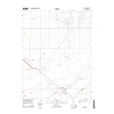
2015 Map of Wheatland
USGS Topo · Published 2015About this map
Wheatland serves as the focal point of this 2015 study, situated at the junction of the Yuba and Placer county line. The landscape is defined by its complex drainage network, where the Bear River and Dry Creek converge with several sloughs, including Grasshopper Slough and Best Slough. These waterways cut through the fertile floor of the Sacramento Valley, illustrating the intersection of historical agricultural land and modern infrastructure.
Find a feature on this map
69 named features on this map. Tap any name to fly to it.
Don’t see what you’re looking for? This feature index may not catch every label — zoom into the map to look around manually.
Map Details
Editions of this 2015 Wheatland Map
This is the sole edition of this map. No revisions or reprints were ever made.
Other maps of this area

1888 · Marysville
USGS Topo · 1:125,000

1888 · Smartsville
USGS Topo · 1:125,000

1891 · Sacramento
USGS Topo · 1:125,000

1891 · Marysville
USGS Topo · 1:125,000

1891 · Smartsville
USGS Topo · 1:125,000

1892 · Sacramento
USGS Topo · 1:125,000

1892 · Smartsville
USGS Topo · 1:125,000

1893 · Sacramento
USGS Topo · 1:125,000

1894 · Smartsville
USGS Topo · 1:125,000

1894 · Marysville
USGS Topo · 1:125,000