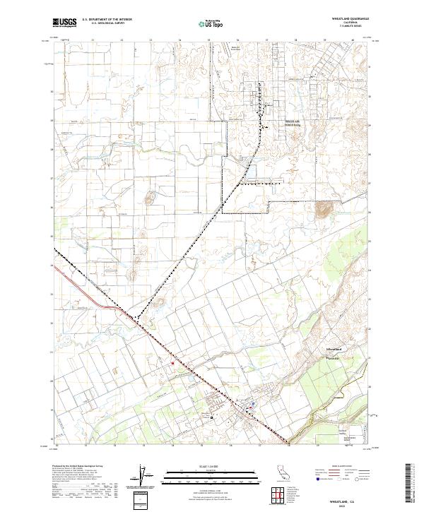
2022 Map of Wheatland
USGS Topo · Published 2022About this map
Wheatland serves as the focal point of this northern Sacramento Valley landscape, positioned near the boundary of Yuba Co and Placer Co. The township's layout is defined by its agricultural roots and proximity to major infrastructure, including the Wheatland Cem District and the expansive Beale Air Force Base to the north. Water management is a central theme of the terrain, with the DRY Creek Levee RD and Levee RD flanking the course of Dry Cr. Numerous drainage features like Best Slough and Grasshopper Slough wind through the fields, illustrating the complex irrigation and flood control systems required in this part of California. Smaller settlements like Horstville and the named area of Central Valley show the continued importance of these rural junctions and local service centers within the broader valley economy.
Find a feature on this map
46 named features on this map. Tap any name to fly to it.
Don’t see what you’re looking for? This feature index may not catch every label — zoom into the map to look around manually.
Map Details
Editions of this 2022 Wheatland Map
This is the sole edition of this map. No revisions or reprints were ever made.
Other maps of this area

1888 · Marysville
USGS Topo · 1:125,000

1888 · Smartsville
USGS Topo · 1:125,000

1891 · Sacramento
USGS Topo · 1:125,000

1891 · Marysville
USGS Topo · 1:125,000

1891 · Smartsville
USGS Topo · 1:125,000

1892 · Sacramento
USGS Topo · 1:125,000

1892 · Smartsville
USGS Topo · 1:125,000

1893 · Sacramento
USGS Topo · 1:125,000

1894 · Smartsville
USGS Topo · 1:125,000

1894 · Marysville
USGS Topo · 1:125,000