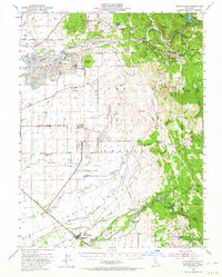
1949 Map of Wheatland
USGS Topo · Published 1964About this map
Gold-dredging scars and early California military history define this 1949 survey of the region surrounding Wheatland. Massive deposits of Tailings along the Yuba River reveal the scale of industrial mining, specifically around Hammonton and the Marigold dredging fields. To the north, the hard-rock heritage of the northern mines is evident at the Browns Valley Mine and Donnebroge Mine, while the former hydraulic mining camps of Timbuctoo and Smartville overlook the river from the hills.
Find a feature on this map
87 named features on this map. Tap any name to fly to it.
Don’t see what you’re looking for? This feature index may not catch every label — zoom into the map to look around manually.
Map Details
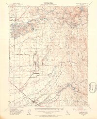
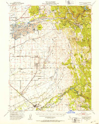
Editions of this 1949 Wheatland Map
3 editions found
Other maps of this area

1888 · Marysville
USGS Topo · 1:125,000

1888 · Smartsville
USGS Topo · 1:125,000

1891 · Sacramento
USGS Topo · 1:125,000

1891 · Marysville
USGS Topo · 1:125,000

1891 · Smartsville
USGS Topo · 1:125,000

1892 · Sacramento
USGS Topo · 1:125,000

1892 · Smartsville
USGS Topo · 1:125,000

1893 · Sacramento
USGS Topo · 1:125,000

1894 · Smartsville
USGS Topo · 1:125,000

1894 · Marysville
USGS Topo · 1:125,000