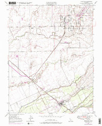
1947 Map of Wheatland
USGS Topo · Published 1976About this map
Wheatland serves as the focal point of this Central Valley landscape, situated at the intersection of the Southern Pacific railroad and the northern bank of the Bear River. The map illustrates a region defined by its complex hydrology and early aviation infrastructure, featuring several named sloughs and a landing strip north of Erie Siding. In the northeast, the sprawling boundary of Beale Air Force Base begins to take shape across the undulating terrain. A distinct pattern of large-scale landholding is evident through features like the historic Johnson Rancho and family-named landmarks such as Boardman Ranch, Durst Ranch, and the settlement of Horstville. The intricate network of drainage features, including Dry Creek, Best Slough, and Hutchinson Creek, is reinforced by an extensive system of levees designed to manage the seasonal waters of the Yuba and Sutter county borderlands.
Find a feature on this map
20 named features on this map. Tap any name to fly to it.
Don’t see what you’re looking for? This feature index may not catch every label — zoom into the map to look around manually.
Map Details
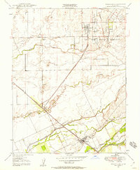
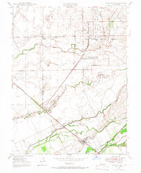
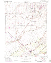
Editions of this 1947 Wheatland Map
4 editions found
Other maps of this area

1888 · Marysville
USGS Topo · 1:125,000

1888 · Smartsville
USGS Topo · 1:125,000

1891 · Sacramento
USGS Topo · 1:125,000

1891 · Marysville
USGS Topo · 1:125,000

1891 · Smartsville
USGS Topo · 1:125,000

1892 · Sacramento
USGS Topo · 1:125,000

1892 · Smartsville
USGS Topo · 1:125,000

1893 · Sacramento
USGS Topo · 1:125,000

1894 · Smartsville
USGS Topo · 1:125,000

1894 · Marysville
USGS Topo · 1:125,000