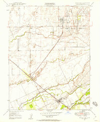
1947 Map of Wheatland
USGS Topo · Published 1958About this map
The Wheatland settlement and the vast Johnson Ranch dominate this 1940s landscape at the junction of the Southern Pacific railroad and the Bear River. The map captures a transitional era for the region, where large agricultural landholdings like the Durst Ranch and Boardman Ranch sit alongside the developing Camp Beale Military Reservation to the northeast. Water management is a primary feature of the terrain, evidenced by a series of channels including Dry Creek, Best Slough, and Hutchinson Creek, often guided by a levee system designed to protect the lower plains. A small cluster of activity is visible at Horstville and Erle Siding, illustrating the critical role of rail transport for these ranching communities. The map also identifies local landmarks such as a Windmill and a rural cemetery, providing valuable data for genealogists tracing family roots in this corner of the Sacramento Valley.
Find a feature on this map
22 named features on this map. Tap any name to fly to it.
Don’t see what you’re looking for? This feature index may not catch every label — zoom into the map to look around manually.
Map Details
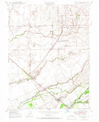
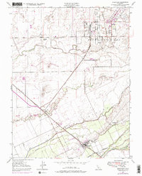
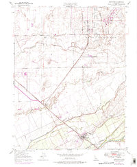
Editions of this 1947 Wheatland Map
4 editions found
Other maps of this area

1888 · Marysville
USGS Topo · 1:125,000

1888 · Smartsville
USGS Topo · 1:125,000

1891 · Sacramento
USGS Topo · 1:125,000

1891 · Marysville
USGS Topo · 1:125,000

1891 · Smartsville
USGS Topo · 1:125,000

1892 · Sacramento
USGS Topo · 1:125,000

1892 · Smartsville
USGS Topo · 1:125,000

1893 · Sacramento
USGS Topo · 1:125,000

1894 · Smartsville
USGS Topo · 1:125,000

1894 · Marysville
USGS Topo · 1:125,000