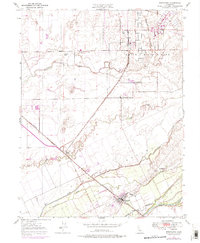
1947 Map of Wheatland
USGS Topo · Published 1976About this map
Johnson Rancho land grants and agricultural operations define the landscape of the Bear River valley during the mid-20th century. The town of Wheatland serves as the primary hub along the Southern Pacific railroad line, supported by surrounding pastoral holdings such as Boardman Ranch and Durst Ranch. To the north, the expanding footprint of Beale Air Force Base begins to overwrite the rural topography, representing a significant shift in land use from traditional ranching to military defense operations.
Find a feature on this map
22 named features on this map. Tap any name to fly to it.
Don’t see what you’re looking for? This feature index may not catch every label — zoom into the map to look around manually.
Map Details
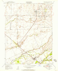
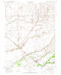
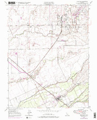
Editions of this 1947 Wheatland Map
4 editions found
Other maps of this area

1888 · Marysville
USGS Topo · 1:125,000

1888 · Smartsville
USGS Topo · 1:125,000

1891 · Sacramento
USGS Topo · 1:125,000

1891 · Marysville
USGS Topo · 1:125,000

1891 · Smartsville
USGS Topo · 1:125,000

1892 · Sacramento
USGS Topo · 1:125,000

1892 · Smartsville
USGS Topo · 1:125,000

1893 · Sacramento
USGS Topo · 1:125,000

1894 · Smartsville
USGS Topo · 1:125,000

1894 · Marysville
USGS Topo · 1:125,000