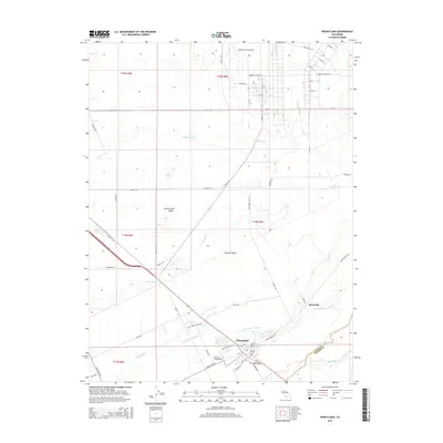
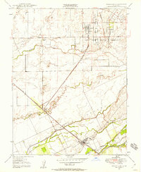
1947 Map of Wheatland
USGS Topo · Published 1966About this map
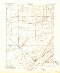
The Bear River defines the southern boundary of this 1947 survey, where the borders of Yuba, Placer, and Sutter counties converge. The town of Wheatland serves as the central hub, supported by a network of large agricultural holdings such as the Boardman Ranch, Durst Ranch, and the settlement at Horstville. The landscape is dominated by a complex hydrological system of sloughs and creeks, including Best Slough and Grasshopper Slough, which weave through the lowlands north of the river. The Southern Pacific railroad cuts diagonally across the quadrangle, passing through Erle Siding and providing a vital transit link for the region's ranching economy. To the northeast, the expansive Camp Beale Military Reservation marks a shift toward federal land use, contrasting with the detailed network of levees and windmills that characterize the surrounding private ranch lands.
Find a feature on this map
17 named features on this map. Tap any name to fly to it.
Don’t see what you’re looking for? This feature index may not catch every label — zoom into the map to look around manually.
Map Details
Editions of this 1947 Wheatland Map
4 editions found
Historical Maps of Wheatland Through Time
8 maps found