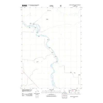
2011 Map of Wheaton Mountain
USGS Topo · Published 2011About this map
Woods Creek defines the northern reaches of this Idaho landscape as it appeared in the early 21st century. The map centers on the high elevation of Wheaton Mountain, a prominent landform overlooking the deeply incised valleys of the region. This topographic record documents the sparsely developed character of the Bonneville County high country, where the terrain is dominated by steep canyon walls and seasonal drainage patterns. Local geography is shaped by the complex network of unnamed ravines and ridges surrounding the mountain summit, illustrating the transition between the watershed of Woods Creek and the higher reaches of the plateau. Researchers of this area can study the placement of modern access roads relative to the natural topography of the basin.
Find a feature on this map
1 named feature on this map. Tap any name to fly to it.
Don’t see what you’re looking for? This feature index may not catch every label — zoom into the map to look around manually.
Map Details
Editions of this 2011 Wheaton Mountain Map
This is the sole edition of this map. No revisions or reprints were ever made.
Other maps of this area

1924 · Hell Creek
USGS Topo · 1:62,500

1926 · Hell Creek
USGS Topo · 1:62,500

1932 · Irwin
USGS Topo · 1:96,000

1935 · Irwin
USGS Topo · 1:125,000

1943 · Garns Mtn
USGS Topo · 1:62,500

1946 · Garns Mtn
USGS Topo · 1:62,500

1951 · Hawley Gulch
USGS Topo · 1:24,000

1951 · Heise SE
USGS Topo · 1:24,000

1955 · Driggs
USGS Topo · 1:250,000

1958 · Driggs
USGS Topo · 1:250,000