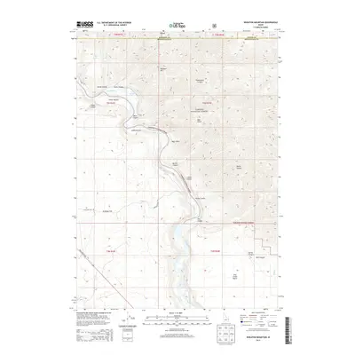
2013 Map of Wheaton Mountain
USGS Topo · Published 2013About this map
The Snake River carves a deep, winding path through this corner of Bonneville County, defining a landscape of dramatic elevation changes and isolated riparian flats. Large portions of the terrain are managed as part of the Targhee National Forest, where the river creates fertile pockets of land such as Fisher Bottom and Lufkin Bottom. These low-lying areas contrast sharply with the surrounding uplands, including Wheaton Mtn and the broad expanse of Antelope Flat.
Find a feature on this map
35 named features on this map. Tap any name to fly to it.
Don’t see what you’re looking for? This feature index may not catch every label — zoom into the map to look around manually.
Map Details
Editions of this 2013 Wheaton Mountain Map
This is the sole edition of this map. No revisions or reprints were ever made.
Other maps of this area

1924 · Hell Creek
USGS Topo · 1:62,500

1926 · Hell Creek
USGS Topo · 1:62,500

1932 · Irwin
USGS Topo · 1:96,000

1935 · Irwin
USGS Topo · 1:125,000

1943 · Garns Mtn
USGS Topo · 1:62,500

1946 · Garns Mtn
USGS Topo · 1:62,500

1951 · Hawley Gulch
USGS Topo · 1:24,000

1951 · Heise SE
USGS Topo · 1:24,000

1955 · Driggs
USGS Topo · 1:250,000

1958 · Driggs
USGS Topo · 1:250,000