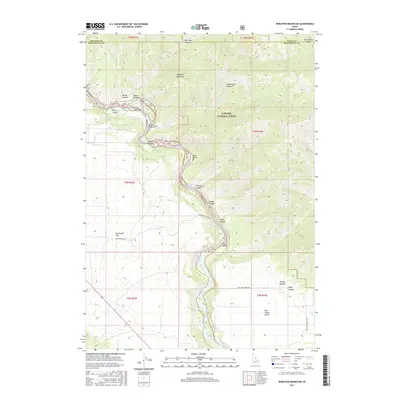
2017 Map of Wheaton Mountain
USGS Topo · Published 2017About this map
Snake River frontage and high-elevation plateaus define this region along the boundaries of Madison, Teton, and Bonneville counties. This 2017 study illustrates the dramatic elevation changes between the river canyon and Wheaton Mountain, showcasing a landscape of named drainages like Fisher Canyon and Gormer Canyon that cut through the western edge of Targhee National Forest. The map reveals the topography of fertile riverside flats such as Fisher Bottom and Lufkin Bottom, contrasted with the broad expanse of Antelope Flat to the south. Springs like Lufkin Spring and Water Cress Spring provide critical water sources in an otherwise arid, deeply incised canyon system, while the Pine Creek Bench indicates where the terrain levels out above the river's winding path.
Find a feature on this map
36 named features on this map. Tap any name to fly to it.
Don’t see what you’re looking for? This feature index may not catch every label — zoom into the map to look around manually.
Map Details
Editions of this 2017 Wheaton Mountain Map
This is the sole edition of this map. No revisions or reprints were ever made.
Other maps of this area

1924 · Hell Creek
USGS Topo · 1:62,500

1926 · Hell Creek
USGS Topo · 1:62,500

1932 · Irwin
USGS Topo · 1:96,000

1935 · Irwin
USGS Topo · 1:125,000

1943 · Garns Mtn
USGS Topo · 1:62,500

1946 · Garns Mtn
USGS Topo · 1:62,500

1951 · Hawley Gulch
USGS Topo · 1:24,000

1951 · Heise SE
USGS Topo · 1:24,000

1955 · Driggs
USGS Topo · 1:250,000

1958 · Driggs
USGS Topo · 1:250,000