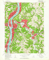
1956 Map of Wheeling
USGS Topo · Published 1963About this map
Wheeling and the industrial corridor of the Ohio River dominate this mid-century portrait of the tri-state border. The landscape is a complex mix of urban density and steep, wooded hollows, where major transportation arteries like the Baltimore and Ohio and Pennsylvania railroads follow the riverbanks and creek valleys. Notable institutions such as Wheeling College and Mt de Chantal Academy occupy the ridges overlooking the city, while the massive Oglebay Park provides a transition to the more rural character of Richland and Triadelphia.
Find a feature on this map
131 named features on this map. Tap any name to fly to it.
Don’t see what you’re looking for? This feature index may not catch every label — zoom into the map to look around manually.
Map Details
Editions of this 1956 Wheeling Map
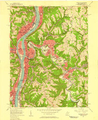
2 editions found
Other maps of this area

1902 · Wheeling
USGS Topo · 1:62,500

1904 · Cameron
USGS Topo · 1:62,500

1905 · Clarington
USGS Topo · 1:62,500

1905 · St. Clairsville
USGS Topo · 1:62,500

1935 · Cameron
USGS Topo · 1:62,500

1935 · Clarington
USGS Topo · 1:62,500

1935 · Wheeling
USGS Topo · 1:62,500

1940 · Clarington
USGS Topo · 1:62,500

1942 · Cameron
USGS Topo · 1:62,500

1942 · Wheeling
USGS Topo · 1:62,500