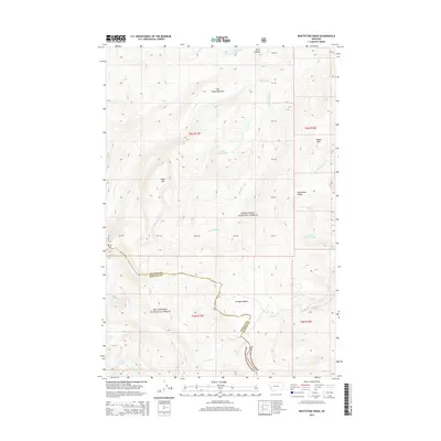
2014 Map of Whetstone Ridge
USGS Topo · Published 2014About this map
Whetstone Ridge and Moose Mtn dominate this high-elevation landscape along the boundary of Granite and Ravalli Counties. The area is characterized by a series of small, isolated mountain waters including Medicine Lake, Little Fish Lake, and Green Canyon Lake, which drain into several forks and creeks such as Ross Fork and Moose Meadow Cr. High mountain meadows and basins like Cow Camp Meadows and Frogpond Basin are interspersed between peaks like Table Mtn. This survey reflects a protected wilderness environment managed by both the Bitterroot National Forest and Deerlodge National Forest. The absence of developed roads or settlements highlights the remote, preserved nature of this portion of the northern Rockies during the early twenty-first century.
Find a feature on this map
29 named features on this map. Tap any name to fly to it.
Don’t see what you’re looking for? This feature index may not catch every label — zoom into the map to look around manually.
Map Details
Editions of this 2014 Whetstone Ridge Map
This is the sole edition of this map. No revisions or reprints were ever made.
Other maps of this area

1909 · Sapphire
USGS Topo · 1:125,000

1947 · Butte
USGS Topo · 1:250,000

1955 · Dillon
USGS Topo · 1:250,000

1957 · Dillon
USGS Topo · 1:250,000

1958 · Butte
USGS Topo · 1:250,000

1958 · Dillon
USGS Topo · 1:250,000

1960 · Butte
USGS Topo · 1:250,000

1962 · Butte
USGS Topo · 1:250,000

1962 · Dillon
USGS Topo · 1:250,000

1965 · Dillon
USGS Topo · 1:250,000