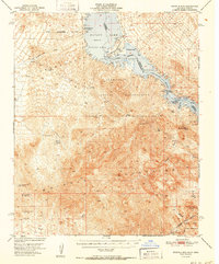
1952 Map of Whipple Mts
USGS Topo · Published 1952About this map
Havasu Lake and the Colorado River define this desert landscape at the border of California and Arizona during the early 1950s. The map illustrates a transitional period of desert use, where traditional mining operations such as the American Eagle Mine and War Eagle No. 1 Mine are marked as inactive, while new recreational and infrastructure developments like Havasu Airpark and Needles Boat Landing begin to appear along the shoreline.
Find a feature on this map
32 named features on this map. Tap any name to fly to it.
Don’t see what you’re looking for? This feature index may not catch every label — zoom into the map to look around manually.
Map Details
Editions of this 1952 Whipple Mts Map
This is the sole edition of this map. No revisions or reprints were ever made.
Other maps of this area
1903 · Needles
USGS Topo · 1:125,000
1904 · Needles Special
USGS Topo · 1:125,000
1911 · Parker
USGS Topo · 1:125,000
1927 · Buck Mountains
USGS Topo · 1:62,500
1929 · Buck Mountains
USGS Topo · 1:62,500
1943 · Giers Basin
USGS Topo · 1:62,500
1943 · Topock
USGS Topo · 1:62,500
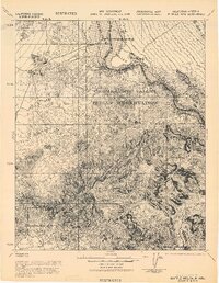
1943 · Whipple Mts.
USGS Topo · 1:62,500
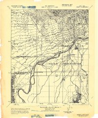
1943 · Parker
USGS Topo · 1:62,500
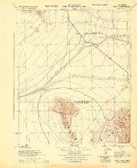
1943 · Vidal
USGS Topo · 1:62,500