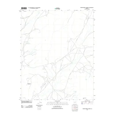
2011 Map of Whippoorwill Spring
USGS Topo · Published 2011About this map
Whippoorwill Spring and its surrounding mesa define this high-desert landscape in the early 21st century. The map documents a network of Indian Routes, including Indian Rte-4 and Indian Rte-65, which connect isolated settlements and crucial water sources. Small, named communities such as Burnt Corn, Sei Betoh, and Willa Zhinni Toh are scattered across the terrain, indicating a dispersed pattern of residency tied to the land's hydrology.
Find a feature on this map
21 named features on this map. Tap any name to fly to it.
Don’t see what you’re looking for? This feature index may not catch every label — zoom into the map to look around manually.
Map Details
Editions of this 2011 Whippoorwill Spring Map
This is the sole edition of this map. No revisions or reprints were ever made.
Other maps of this area

1883 · Marsh Pass
USGS Topo · 1:250,000

1883 · Tusayan
USGS Topo · 1:250,000

1886 · Tusayan
USGS Topo · 1:250,000

1886 · Fort Defiance
USGS Topo · 1:250,000

1892 · Fort Defiance
USGS Topo · 1:250,000

1892 · Marsh Pass
USGS Topo · 1:250,000

1892 · Canyon De Chelly
USGS Topo · 1:250,000

1947 · Flagstaff
USGS Topo · 1:250,000

1954 · Shiprock
USGS Topo · 1:250,000

1954 · Flagstaff
USGS Topo · 1:250,000
Featured Places
- Chinle Agency, AZ
- Fort Defiance Agency
- Whippoorwill Springs, Chinle Agency
- Navajo County, AZ
- Apache County, AZ