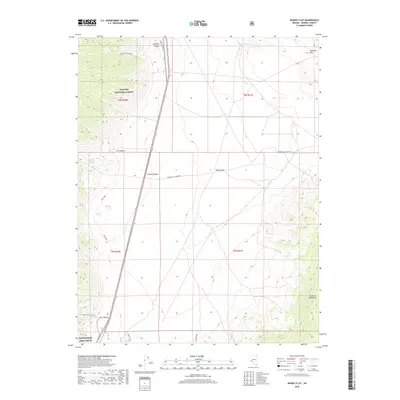
2018 Map of Whisky Flat
USGS Topo · Published 2018About this map
Whisky Flat occupies a significant basin in the Mineral County high desert, framed by the Excelsior Mountains to the southeast and the Garfield Hills to the northeast. This 2018 survey documents a remote landscape where water sources like Whisky Spring and Large Williams Spring have long dictated movement through the arid terrain. The map captures the intersection of public and military land use, showing a portion of the Hawthorne Army Depot at the southwestern edge and the sprawling boundary of the Toiyabe National Forest to the west.
Find a feature on this map
21 named features on this map. Tap any name to fly to it.
Don’t see what you’re looking for? This feature index may not catch every label — zoom into the map to look around manually.
Map Details
Editions of this 2018 Whisky Flat Map
This is the sole edition of this map. No revisions or reprints were ever made.
Other maps of this area

1909 · Hawthorne
USGS Topo · 1:250,000

1911 · Hawthorne
USGS Topo · 1:250,000

1915 · Hawthorne
USGS Topo · 1:250,000

1948 · Walker Lake
USGS Topo · 1:250,000

1955 · Powell Mtn
USGS Topo · 1:62,500

1957 · Walker Lake
USGS Topo · 1:250,000

1958 · Huntoon Valley
USGS Topo · 1:62,500

1962 · Walker Lake
USGS Topo · 1:250,000

1964 · Walker Lake
USGS Topo · 1:250,000

1967 · Pamlico
USGS Topo · 1:24,000